Tezpromap

UAV Mapping

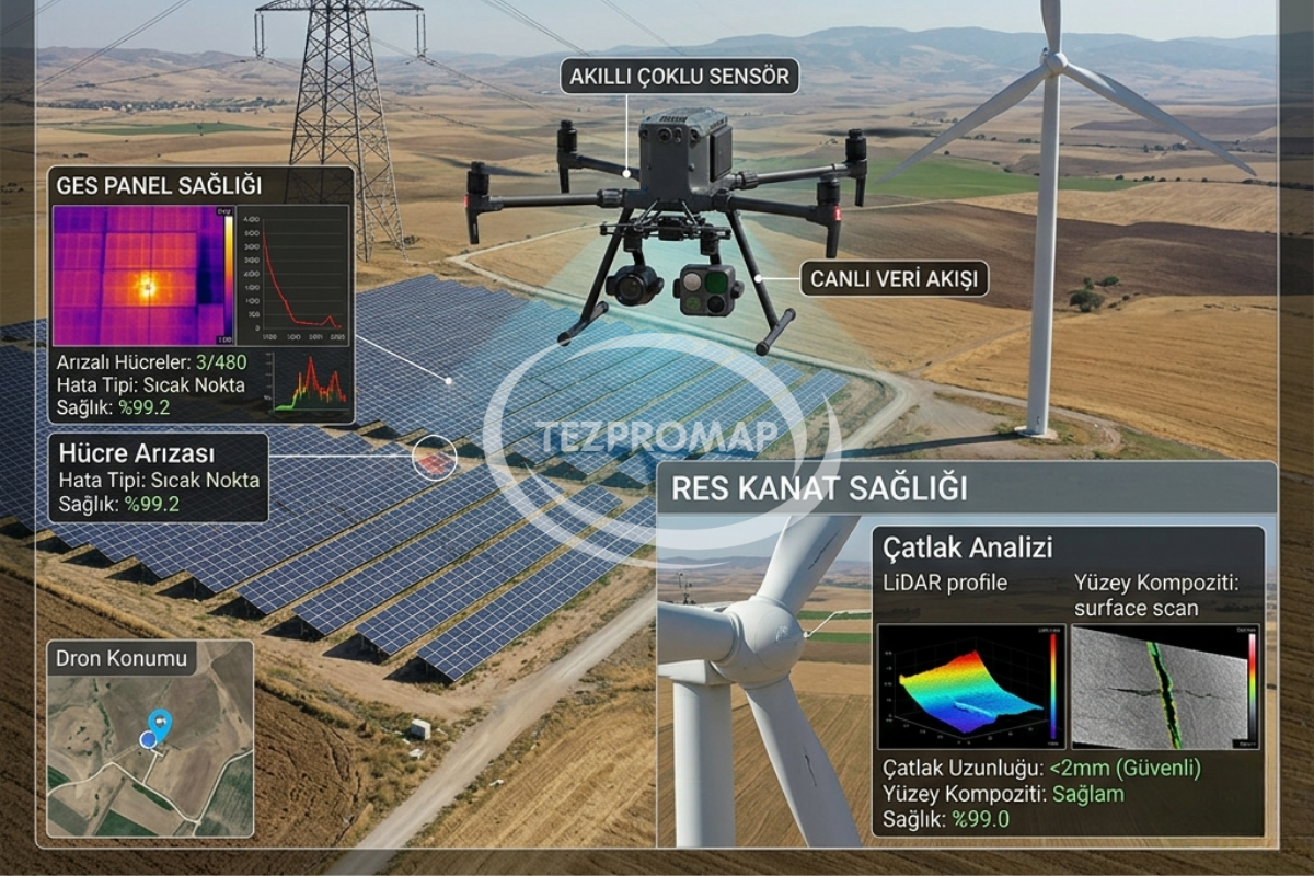
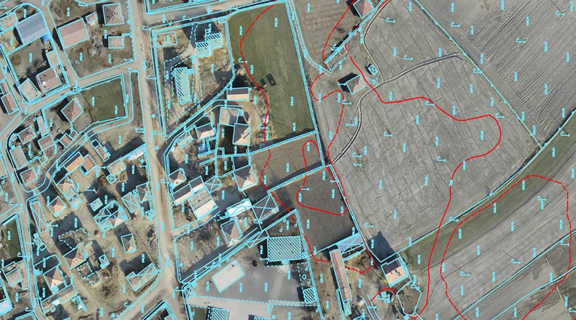
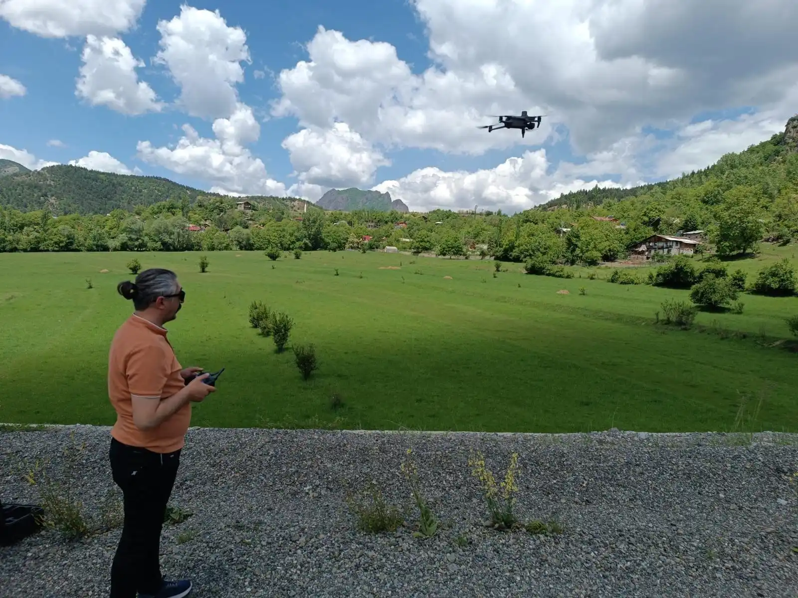
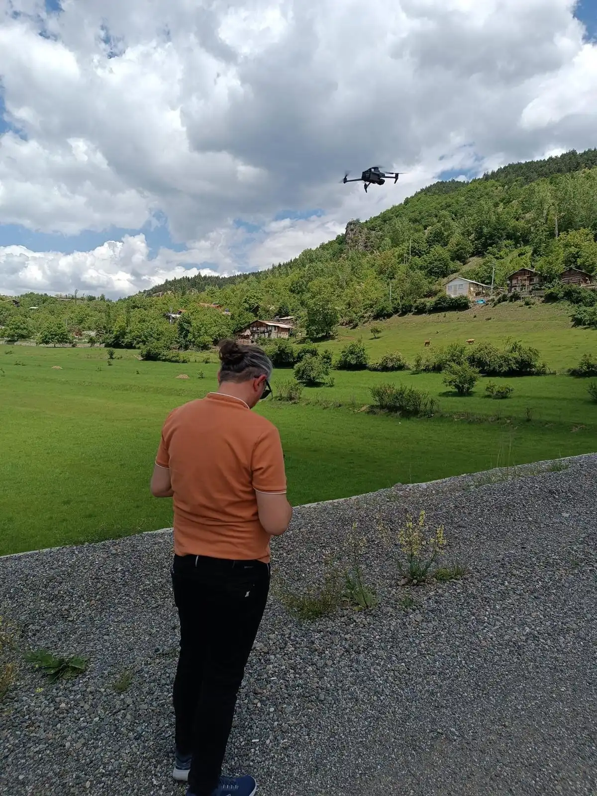
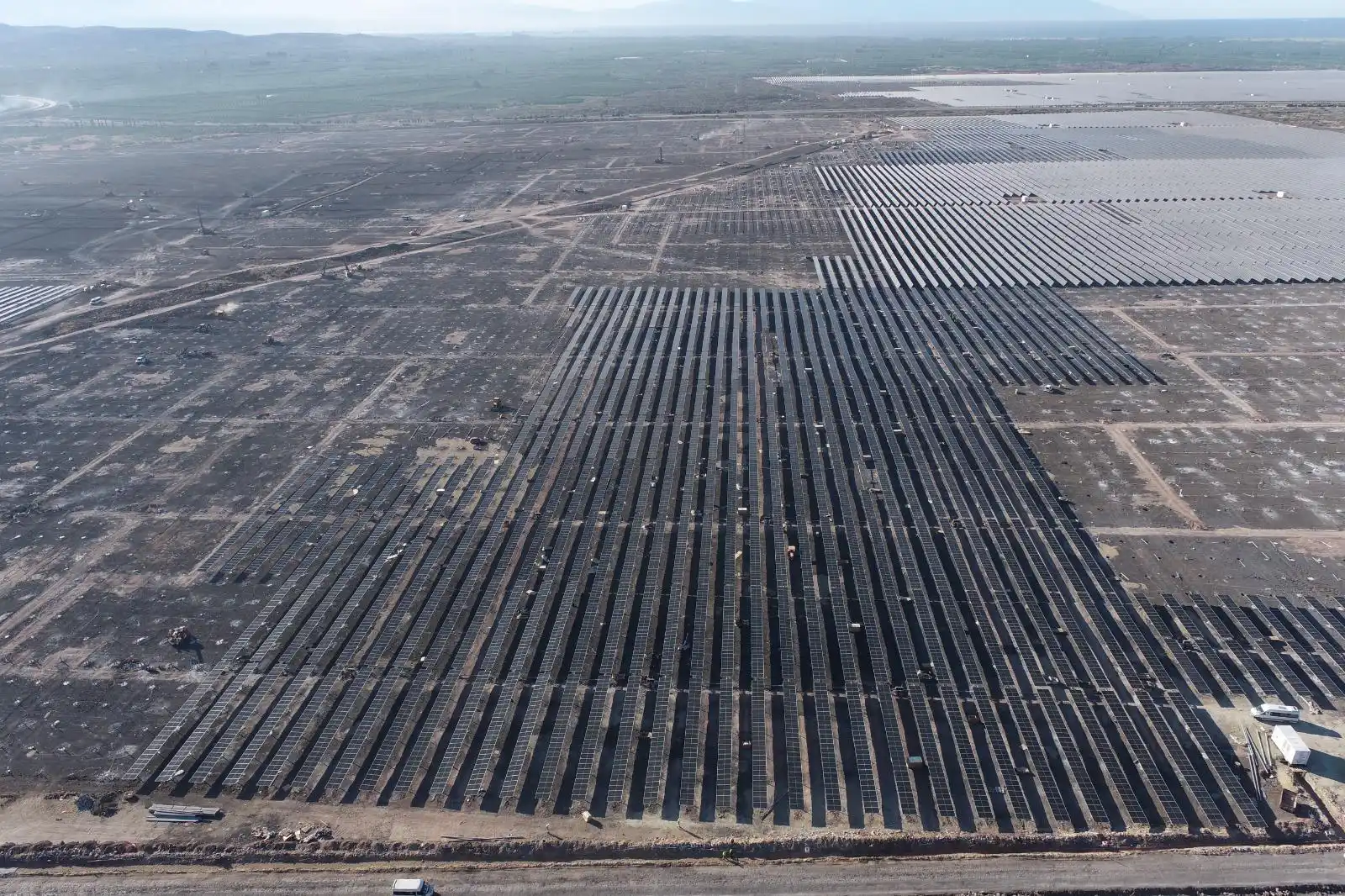
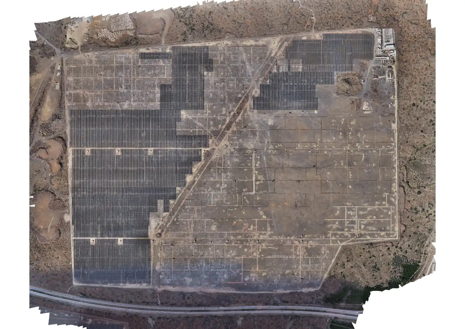
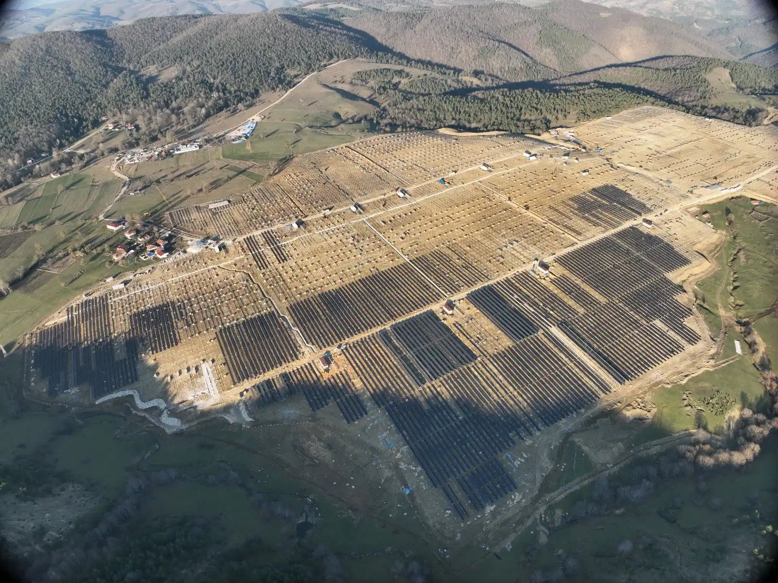
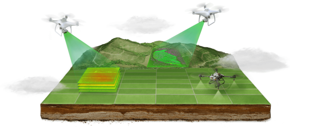
UAV mapping is a process in which detailed maps, 3D models, and geographical data are created by scanning the earth's surface using special sensors and cameras on UAVs.

Bathymetry Underwater Measurement and Mapping

Bathymetry is the science of measuring and mapping the depth and topography of the subsurface of water bodies (seas, lakes, rivers, etc.).

Infrastructure Measurement Services

TECHNICAL SERVICES and CONSULTING for all projects such as Roads, Mining, Tunnels, and similar works, achieving the best results produced by our expert teams as a result of R&D.

Kadastro Hizmetleri

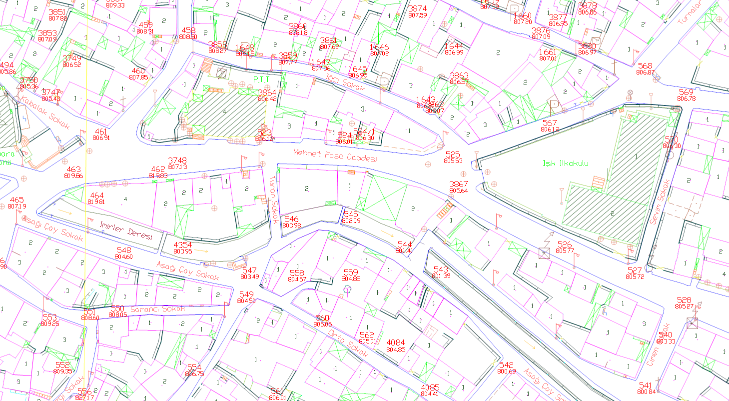
Kadastro, bir bölgenin arazi mülkiyetinin kaydedildiği, düzenlendiği ve yönetildiği bir sistemdir. Kadastro hizmetleri, arazi mülkiyetiyle ilgili kayıtların tutulması, arazi sınırlarının belirlenmesi, mülkiyet haklarının tescili ve arazi kullanımının düzenlenmesi gibi işlemleri içerir.

Who Are We?

Tez Pro Map

TEZ PRO MAP, 2015 yılından bu yana Surveying Engineering, İnşaat, Şehir Tasarım, Plan ve Proje Yatırım Danışmanlığı gibi geniş bir yelpazede faaliyet gösteren köklü bir firmadır.

Tokat ve tüm ilçelerindeki projelerinizde çözüm ortağınız olmaktan gurur duyuyoruz. Uzman kadromuz ve ileri teknolojik ekipmanlarımız ile tüm Türkiye’ye hizmet vermekteyiz.

Şirketimiz, Tokat il merkezinin yanı sıra; büyük ilçelerimiz Erbaa, Turhal, Zile, Niksar başta olmak üzere; Almus, Artova, Başçiftlik, Pazar, Reşadiye, Sulusaray ve Yeşilyurt ilçelerinin tamamında en geniş kapsamda danışmanlık ve mühendislik hizmetlerini sunmaktadır.

TEZ PRO MAP olarak, haritacılık sektöründe ulusal ve uluslararası standartlarda, mesleki etik değerlerimizden ödün vermeden, Tokat’taki tüm paydaşlarımıza faydalı, kaliteli ve güvenilir çözümler üretmeyi hedeflemekteyiz.

  • Our Domestic Activities

    We have been involved in Turkey's leading major projects.

  • Our Reference List

    We have accomplished greater works together with you.

Our Services

  • Our Services
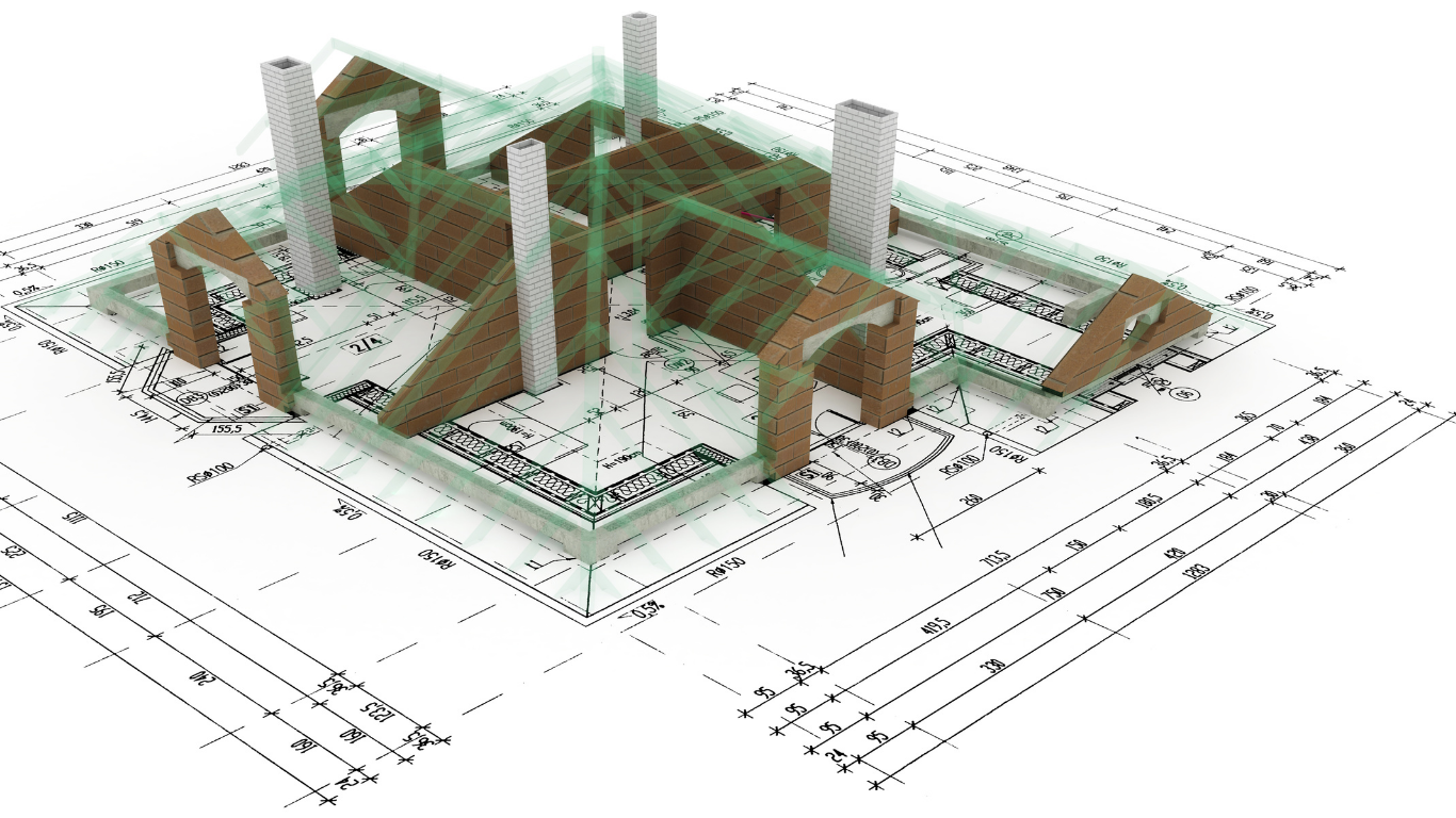
LİDAR Tarama ve 3D Nokta Bulutu Modelleme

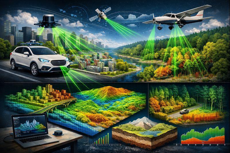
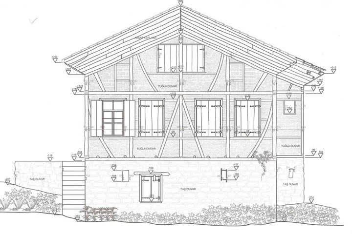
LIDAR SCANNING Lidar Scanning LIDAR Scanning LIDAR (Light Detection and Ranging), [producing] high-precision [data] about the earth's surface and structures using laser beams...
Daha fazla yükle

İçeriğin Sonu.

Our Equipment

Yersel Lazer Tarama

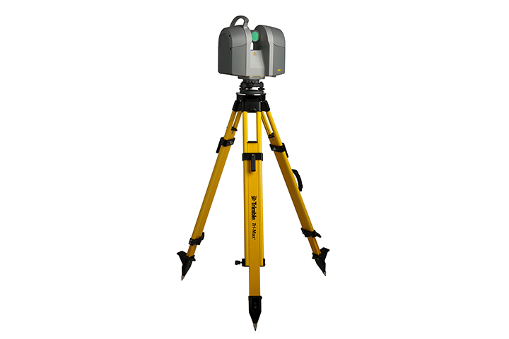
Terrestrial Laser Scanning

Device
In terrestrial scanning applications performed with a static method, highly dense 3D point cloud data containing (XYZ) coordinate information of all details belonging to the object surface is obtained by utilizing the round-trip time of the laser pulse sent from the scanner to the object.
Su Altı Dronu Tarama

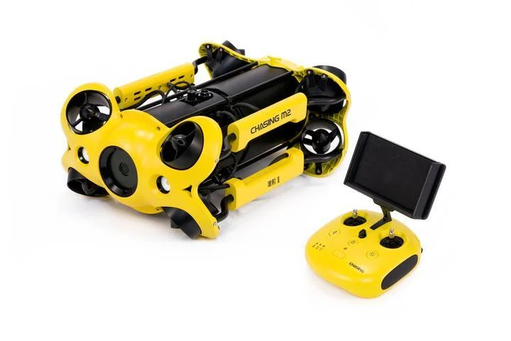
Underwater Drone Scanning

Device
Underwater drones, or otherwise known as ROVs (Remotely Operated Vehicles), are robotic systems that can swim underwater and are controlled by an operator from land or by a diver in the water.
İHA Haritalama

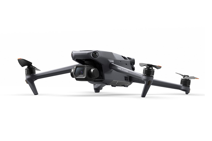
UAV Mapping

Device
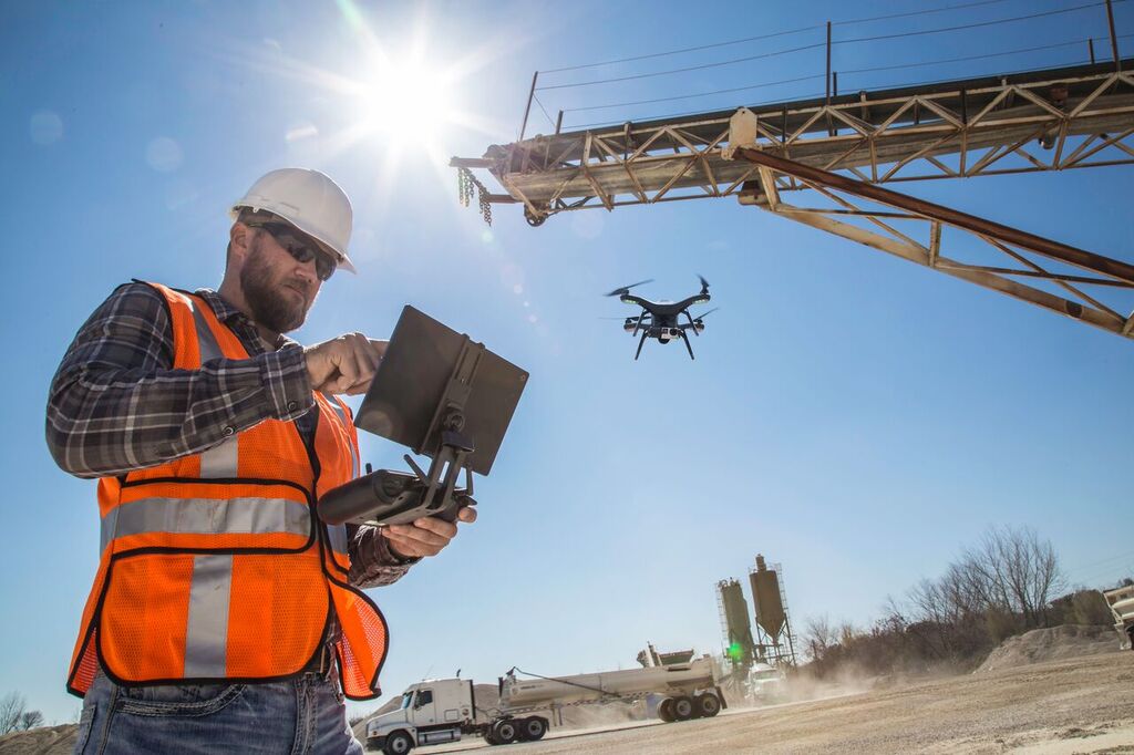
Mapping with a UAV (Unmanned Aerial Vehicle) is a mapping process that involves aerial imaging and data collection methods using unmanned aerial vehicles.
Gps Ölçüm Cihazı

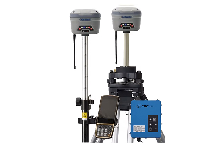
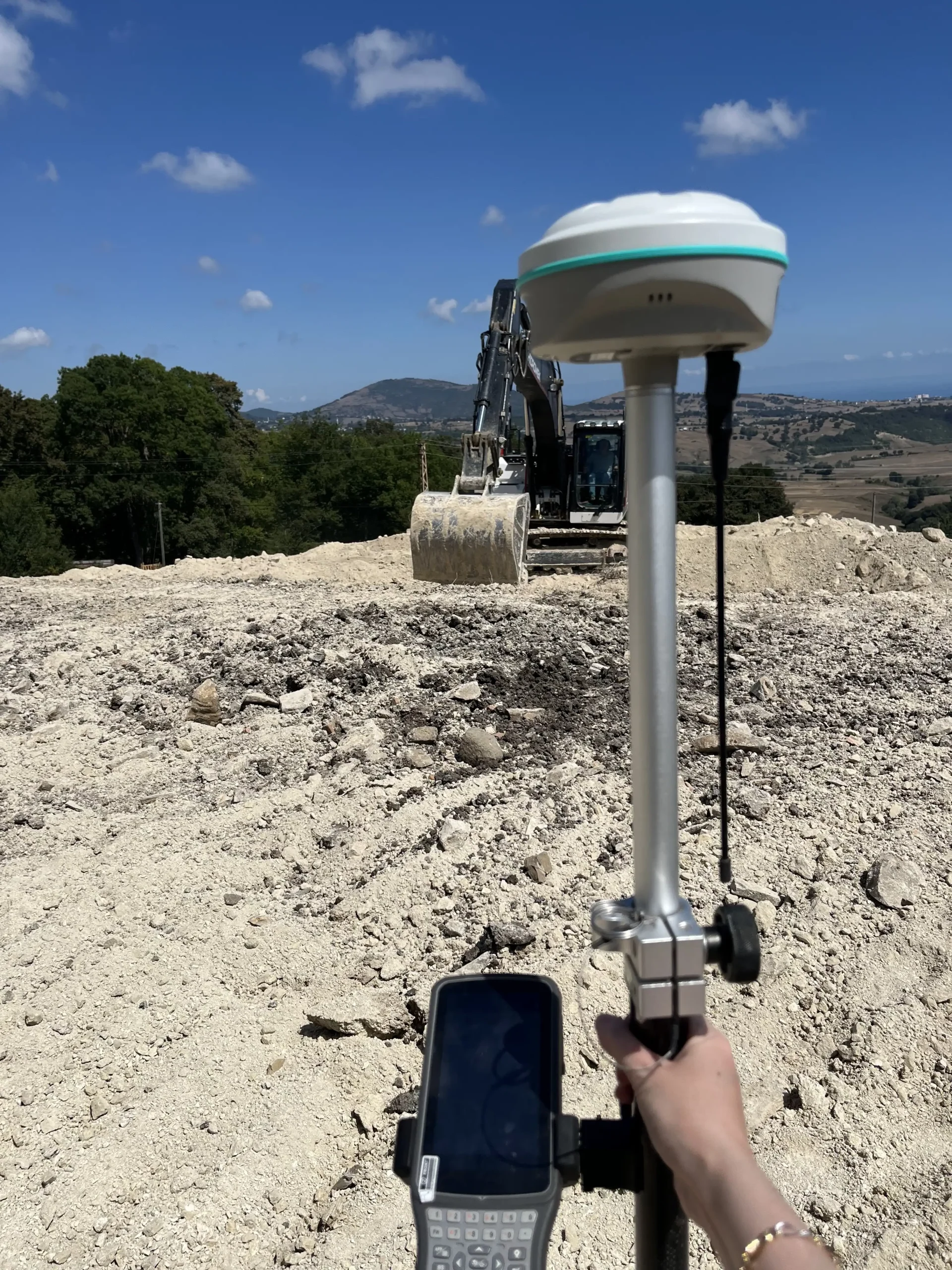
GPS Measuring Device

Device
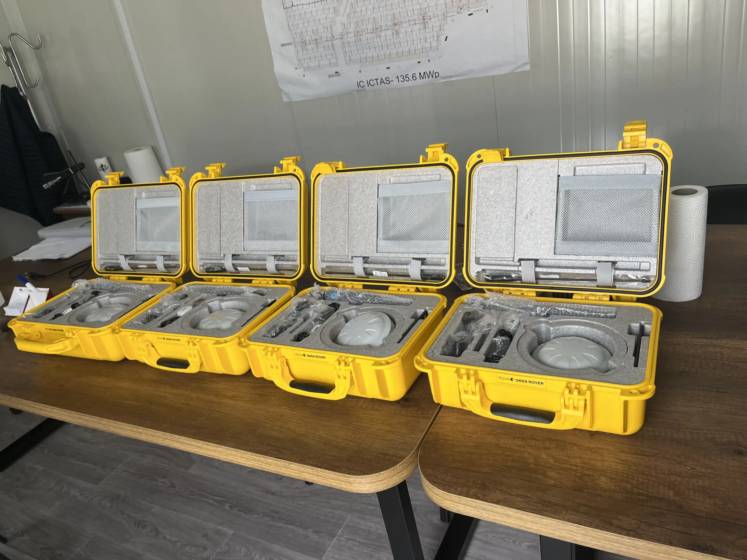
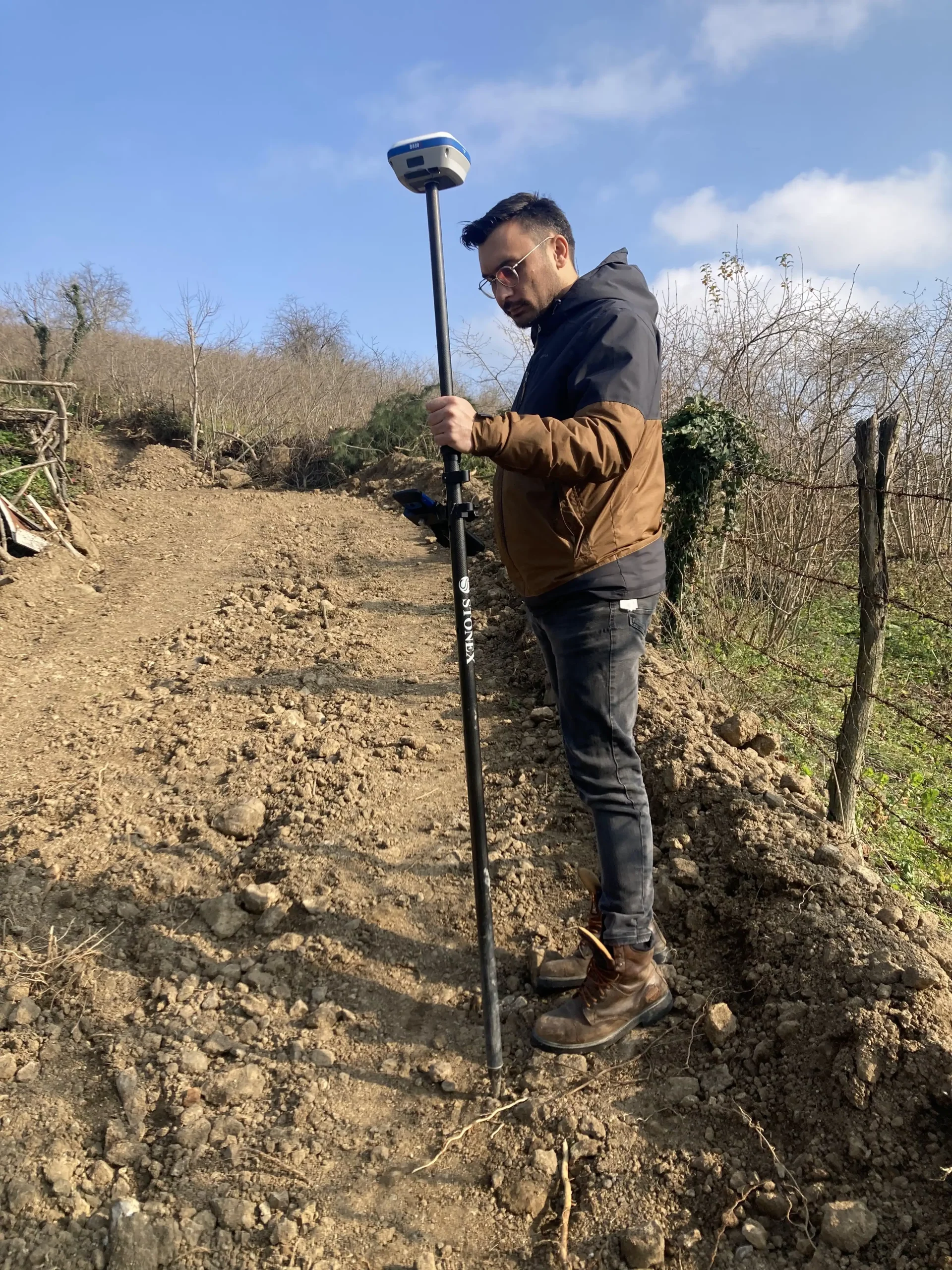
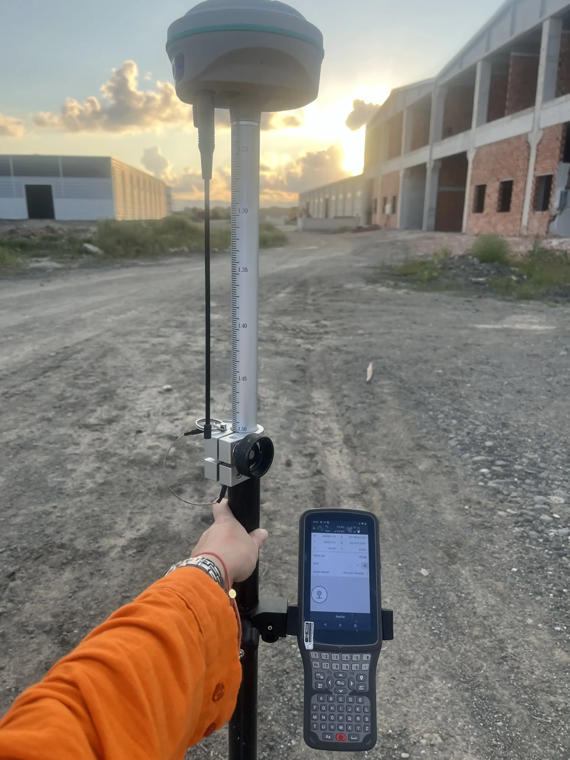
The Global Positioning System (GPS) is a satellite system used to determine location on Earth. Since it allows the measurement of the distance between satellites and an individual or vehicle, a person's exact location on earth can be pinpointed.
Total Station

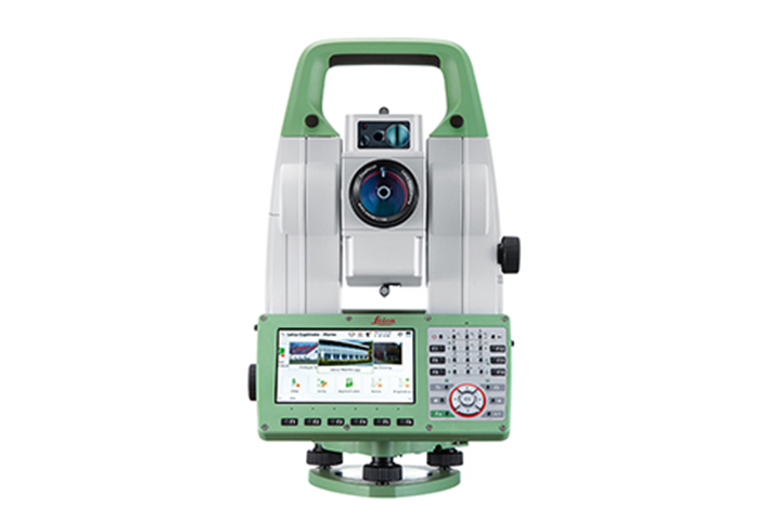
Total Station

Device
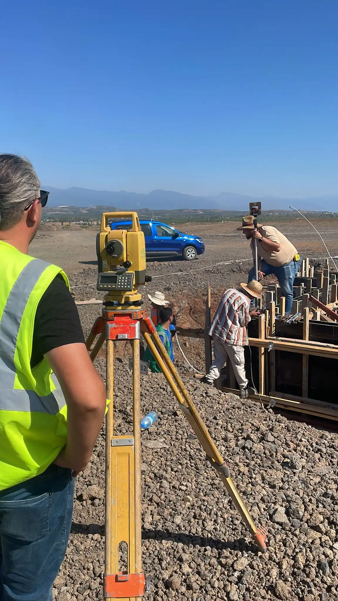
In short, a Total station is a topographic measuring device that can read distances remotely. Total Stations are measuring instruments used to find the surface area of the land and make its plan, determining xyz coordinate values through horizontal and vertical angle measurements and distance measurement with second-level precision.
Nivo

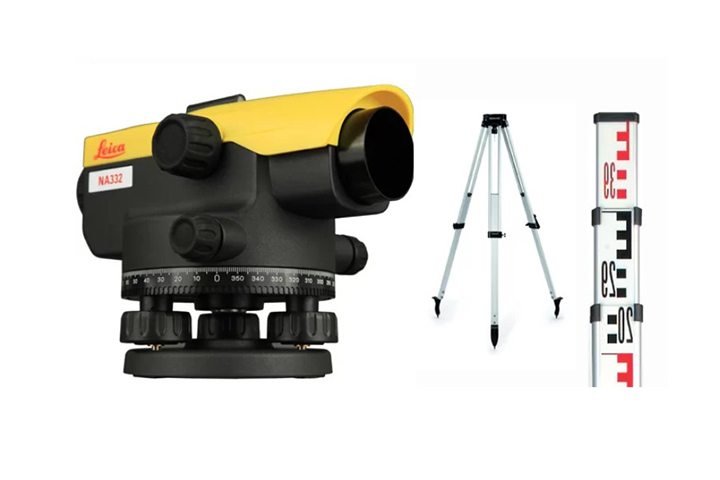
Level

Device
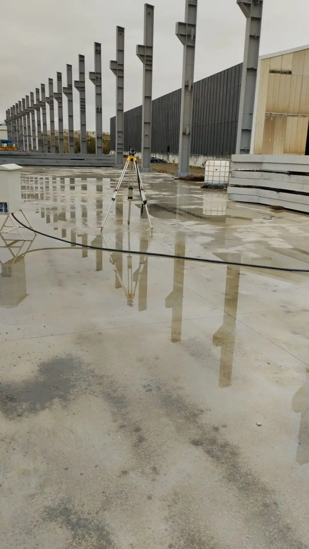
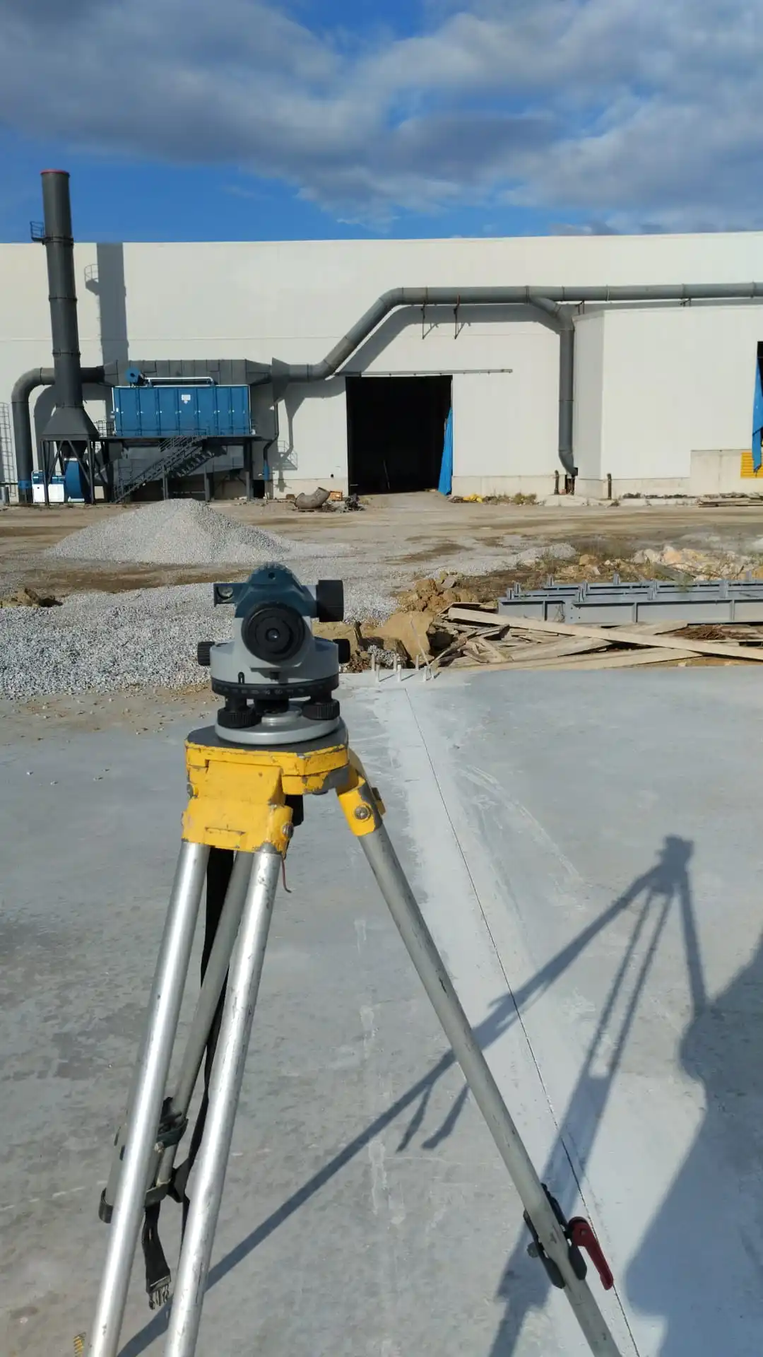
A level is a measuring instrument used in construction and land surveying works. It is used to check the alignment of the land or structure in the horizontal and vertical planes. Optical or laser levels are generally used in construction projects, road building, landscaping, and other engineering projects.

Gallery

Support

Do you have a new project?

Simply fill out the form so we can get to know you.