Tezpromap

UAV Mapping

Ela GÜRNAL

Ela GÜRNAL

Author
21 K

Article Views

6 Months

Frequently Asked Questions

How is UAV mapping done?
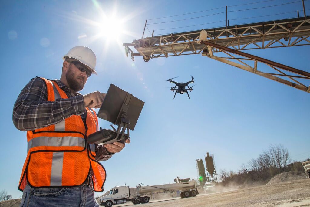
  • UAV mapping is performed by creating three-dimensional models and maps using photogrammetry software from high-resolution images collected during UAV flights. The UAV flies over a specific area according to a predetermined flight plan and continuously takes photographs. These photographs are then processed using software to create a map or model.

What are the advantages of UAV mapping?

The advantages of UAV mapping are as follows:

  • Fast data collection
  • High-resolution images
  • Ability to collect data in hard-to-reach areas
  • Cost-effectiveness
  • Operations that do not require human intervention in terms of safety
Which sectors can benefit from UAV mapping?

UAV mapping can be used in many sectors such as agriculture, construction, mining, forestry, environmental monitoring, disaster management, archaeology, real estate, and urban planning.

What software is used in UAV mapping?

Commonly used software in UAV mapping includes Pix4D, DroneDeploy, Agisoft Metashape, ESRI Drone2Map, and DJI Terra. This software processes the collected images to create maps and 3D models.

What hardware is required for UAV mapping?

Hardware required for UAV mapping includes a high-resolution camera, a GNSS (Global Navigation Satellite System) receiver, flight control software, a data processing computer, and the UAV. Additionally, spare batteries and portable data storage devices may be required.

What data is obtained in UAV mapping?

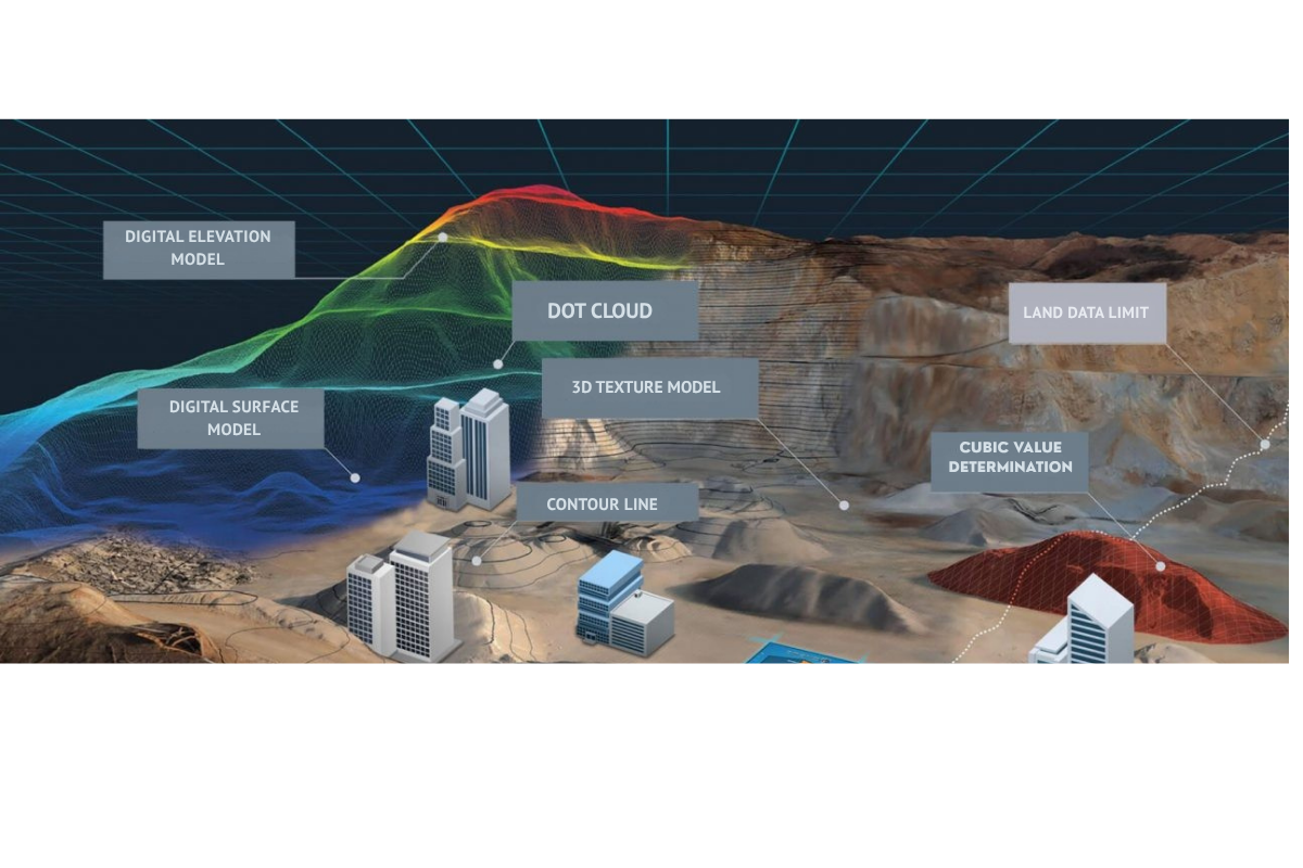
Data obtained in UAV mapping includes orthophotos (georeferenced aerial photographs), digital surface models (DSM), digital elevation models (DEM), and three-dimensional models. This data can be used for topographic maps, terrain analysis, and planning projects.

What are the necessary legal regulations and permits for UAV mapping?

Before performing UAV mapping, necessary flight permits must be obtained from local aviation authorities. In most countries, UAVs are required to fly at specific altitudes, operate in designated areas, and comply with safety rules. Furthermore, privacy and data protection laws regarding data collection and usage must also be followed.

What are the challenges faced in UAV mapping?

Challenges faced in UAV mapping include bad weather conditions, flight planning and coordination difficulties, battery life limitations, the complexity of the data processing procedure, and compliance issues with legal regulations.

How is accuracy ensured in UAV mapping?

Accuracy in UAV mapping is ensured through high-quality GNSS receivers, ground control points (GCPs), and precise flight planning. Photogrammetry software is used to correctly align and process the collected images. In addition, various calibration and validation techniques are applied during the data processing stage.

What is the future of UAV mapping?

The future of UAV mapping is very bright. With the advancement of technology, UAV flight times are increasing, camera and sensor quality is improving, and data processing software is becoming more user-friendly. Moreover, with the integration of artificial intelligence and machine learning techniques, mapping processes will become more automated and efficient. These developments will enable UAV mapping to be used in a wider range of applications and more complex projects.