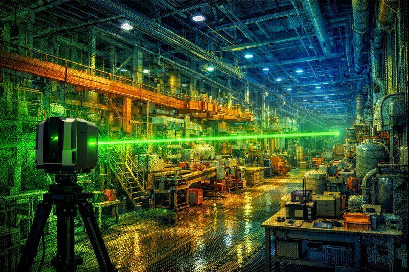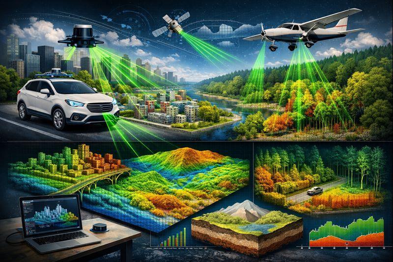
LIDAR (Light Detection and Ranging) is an advanced measurement and mapping technology that produces high-precision, three-dimensional (3D) data about the earth's surface and structures using laser beams. The LiDAR scanning method enables fast, reliable, and detailed modeling of terrain, buildings, infrastructure, and environmental elements.