
Tezpromap

Infrastructure and Field Survey Coordination

From planning to implementation, we manage engineering, technical surveys, and site coordination in infrastructure projects with a holistic approach.

Integrated Engineering Solutions in Infrastructure Projects

As TEZPROMAP ENGINEERING, we provide holistic engineering solutions across the planning, technical survey, design, and field implementation processes of infrastructure projects.

Across diverse disciplines such as potable water, sewerage, stormwater drainage, transportation, and energy infrastructure, we aim to manage processes effectively and sustainably—from field data acquisition to technical analyses, project coordination, and implementation checks.

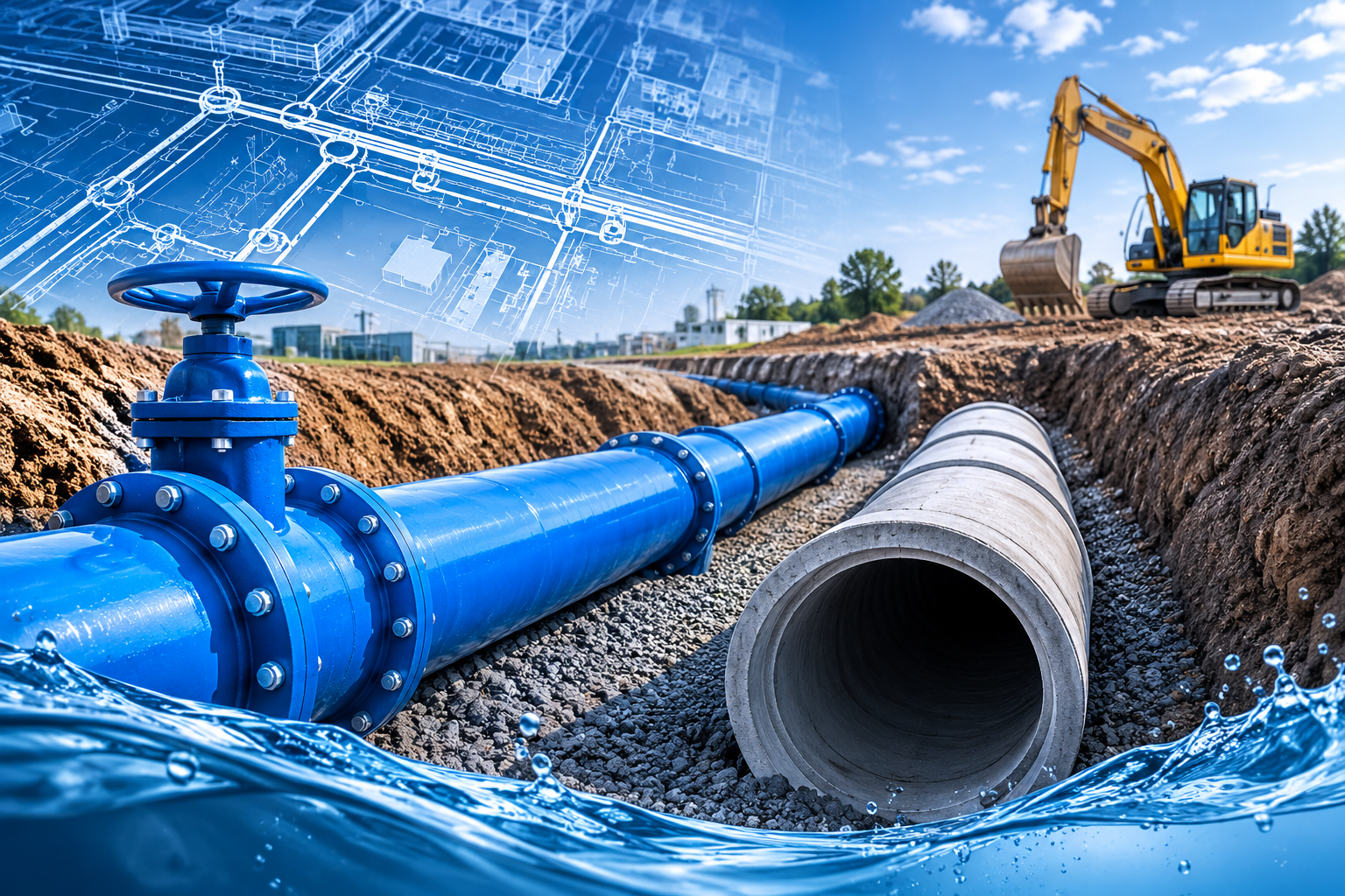
Potable Water and Sewerage Infrastructure

Technical survey, engineering, design, and field implementation coordination in potable water and sewerage infrastructure projects.
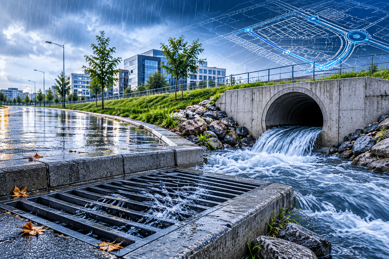
Stormwater and Drainage Systems

We provide technical survey, engineering, and implementation coordination services in stormwater collection, drainage, and flood control projects.

Transportation and Road Infrastructure

We manage land surveys, route corridor analyses, design, and site control processes in highway, junction, and transportation infrastructure projects.
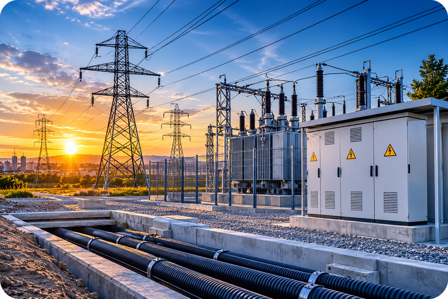
Energy Infrastructure

We deliver measurement, technical survey, and engineering solutions for infrastructure projects involving power transmission lines, substations, and energy facilities.

Surveying and Field Investigation Services

We perform high-precision land surveys, existing map production, and field analyses using GNSS, total station, and advanced measurement technologies.
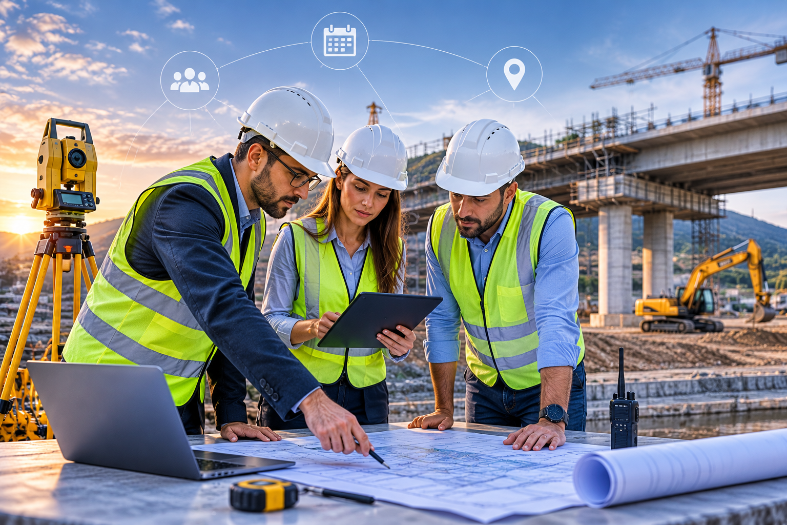
Project and Site Coordination

By ensuring coordination across engineering disciplines in infrastructure projects, we manage planning, implementation, and technical control processes with a holistic approach.

From Data to Project, from Project to Implementation

As TEZPROMAP ENGINEERING, we provide integrated engineering solutions across all stages—from acquiring field data to technical analysis and design, and from site implementations to quality control processes.

1. Field Data Collection

We perform high-precision field measurements using GNSS, total station, and drone technologies.

2. Technical Analysis and Modeling

By analyzing collected data, we create digital terrain models and engineering infrastructure.

3. Design and Planning

We plan processes by transforming technical data into feasible engineering projects.

4. Field Implementation and Control

We ensure accurate transfer of projects to the site, implementation coordination, and technical checks.