Tezpromap

Digital Photogrammetric Maps

Ela GÜRNAL

Ela GÜRNAL

Author
9 K

Article Views

6 Months

Frequently Asked Questions

What are Digital Photogrammetric Maps?
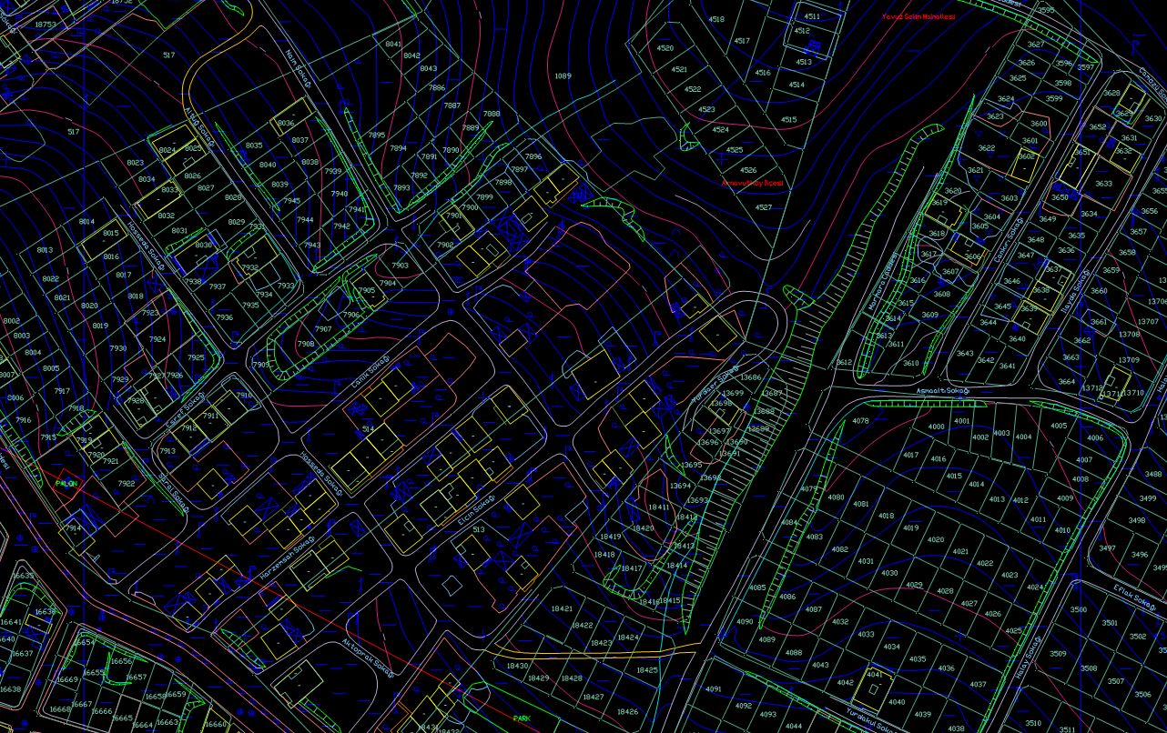
  • Digital photogrammetric maps are maps obtained using aerial photographs or satellite imagery, where terrain and surface features are represented digitally.

How Does Digital Photogrammetry Work?

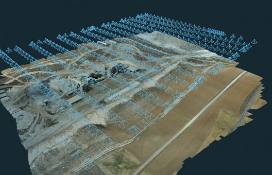
Digital photogrammetry is based on the principle of digitally processing and analyzing aerial photographs or satellite images and creating three-dimensional models.

What are the Application Areas of Digital Photogrammetric Maps?

These maps can be used for urban planning, construction projects, land management, environmental protection, agriculture, forestry, mining, and military purposes.

What is the Difference Between Digital Photogrammetry and Traditional Photogrammetry?

While traditional photogrammetry involves measurements and mapping done with analog methods, digital photogrammetry uses digital image processing techniques and software.

What are the Advantages of Digital Photogrammetric Maps?

These maps offer advantages such as high accuracy, fast data collection and processing, three-dimensional modeling, rapid scanning of large areas, and updatability.

How are Digital Photogrammetric Maps Produced?

The production process includes the stages of collecting aerial photographs or satellite images, analyzing them with image processing software, creating three-dimensional models, and finally producing the maps.

Which Software is Used for Digital Photogrammetric Maps?
  • Popular software used for digital photogrammetry includes software such as Agisoft Metashape, Pix4D, ERDAS IMAGINE, Leica Photogrammetry Suite, and Trimble Inpho.

  •  
What Data Can Be Obtained with Digital Photogrammetry?

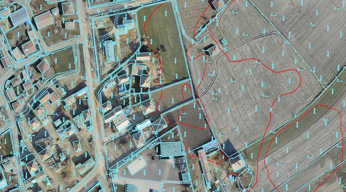
Data obtained with this method includes digital elevation models (DEM), orthophoto maps, three-dimensional surface models, and vector data.