Terrestrial Laser Scanning
Device
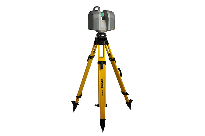
In terrestrial scanning applications performed with a static method, highly dense 3D point cloud data containing (XYZ) coordinate information of all details belonging to the object surface is obtained by utilizing the round-trip time of the laser pulse sent from the scanner to the object.
Underwater Drone Scanning
Device
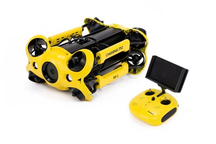
Underwater drones, or otherwise known as ROVs (Remotely Operated Vehicles), are robotic systems that can swim underwater and are controlled by an operator from land or by a diver in the water.
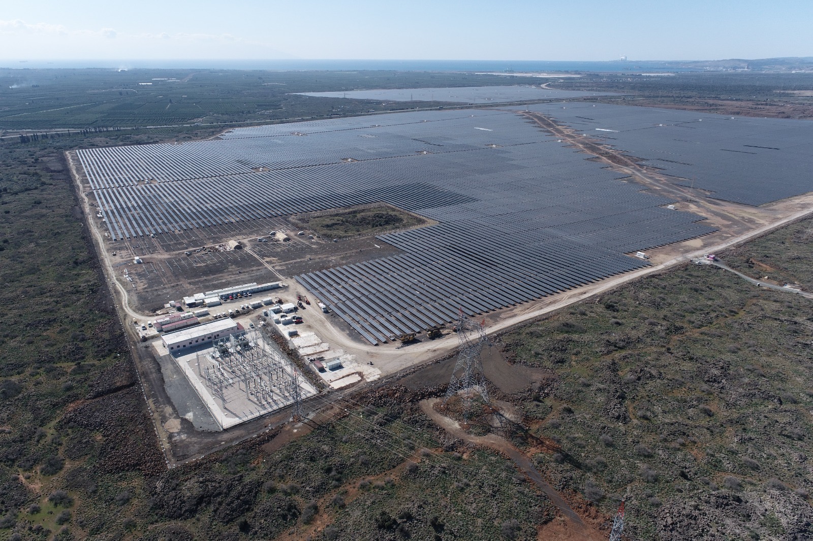
UAV Mapping
Device
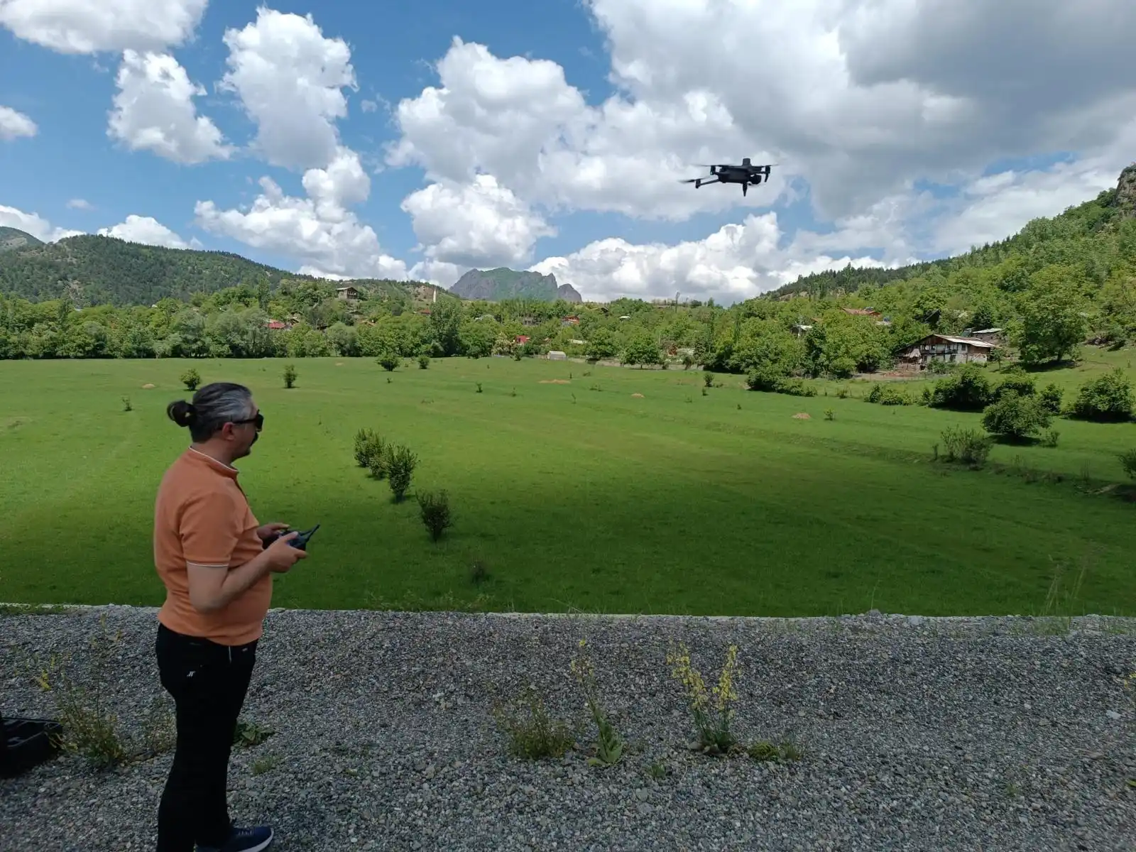
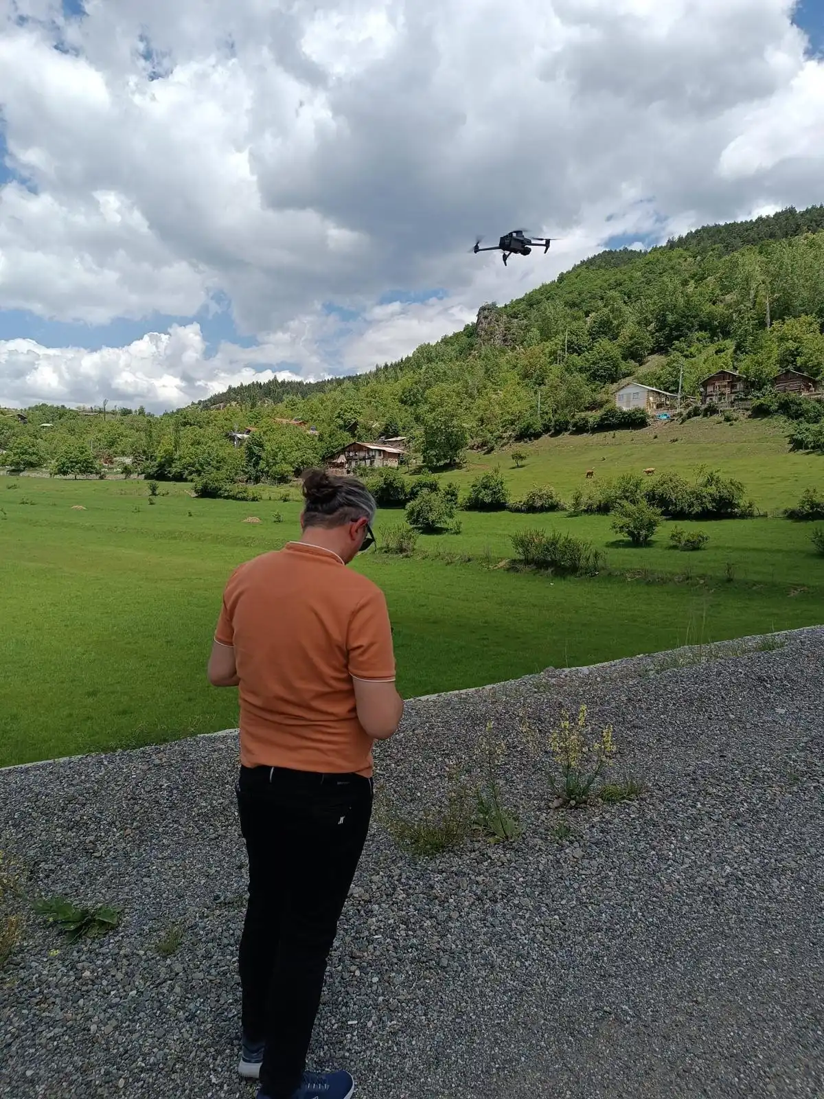
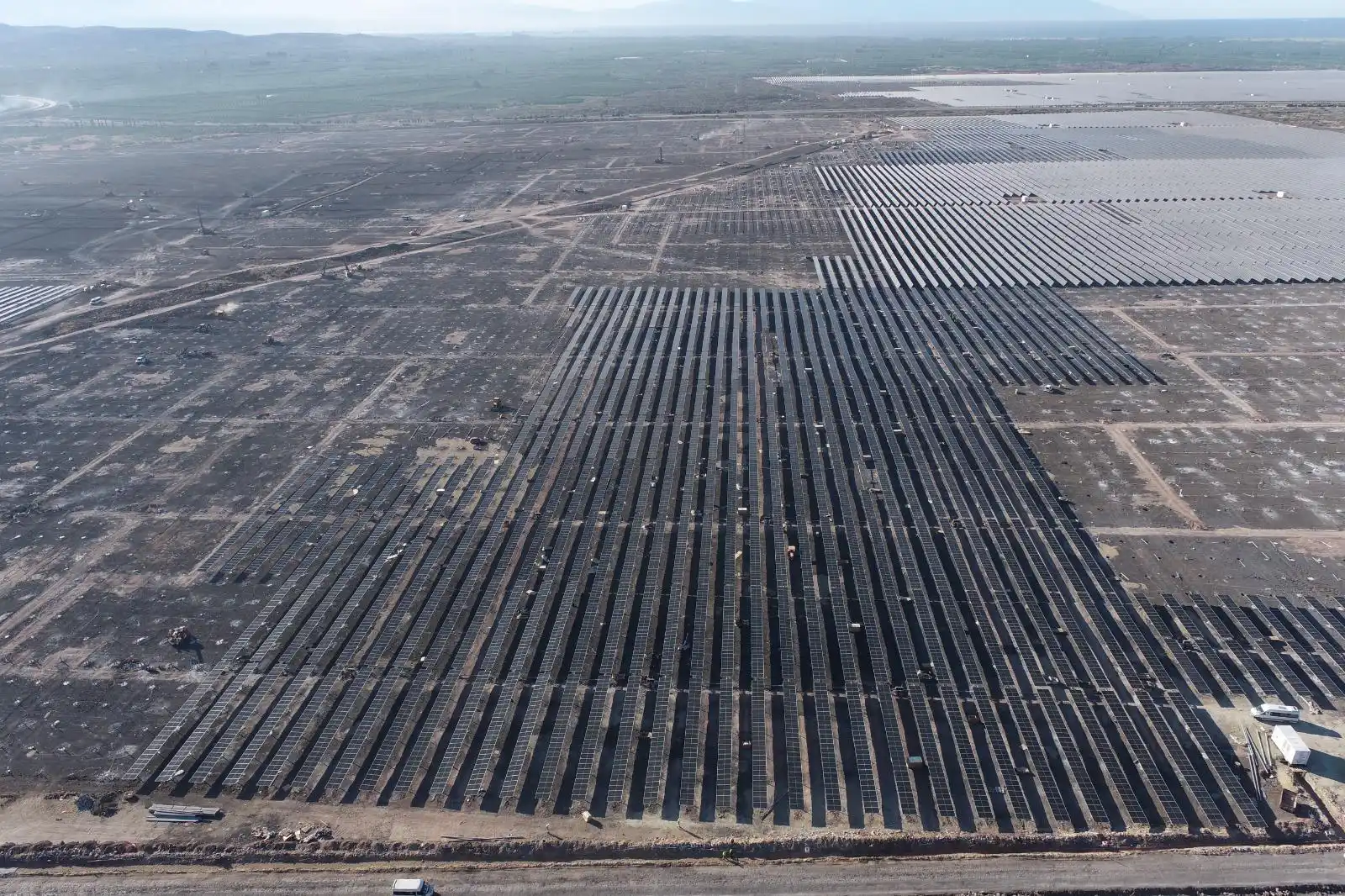
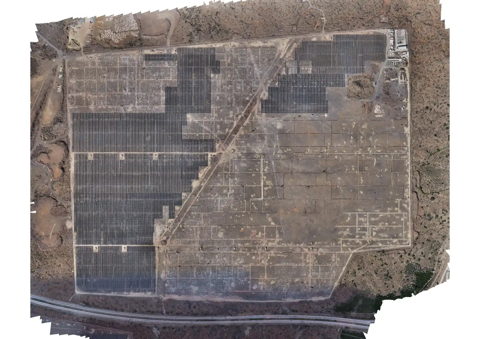
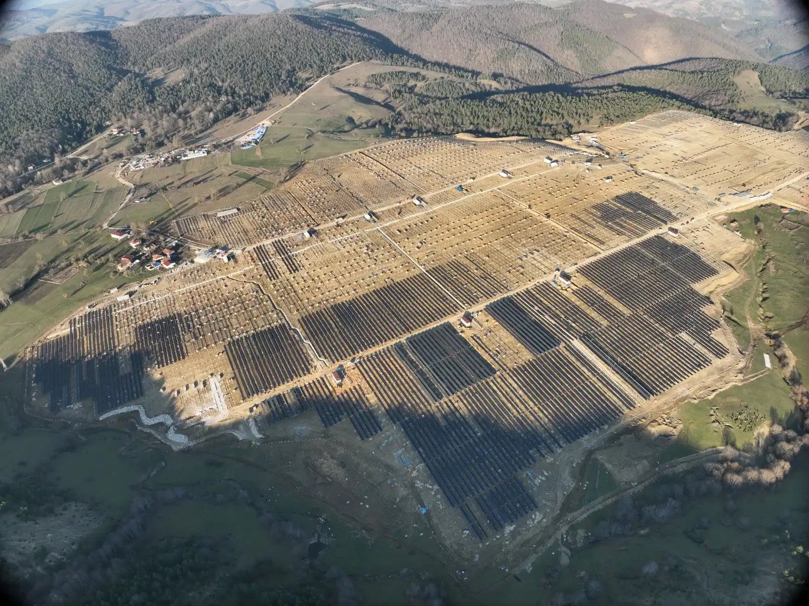
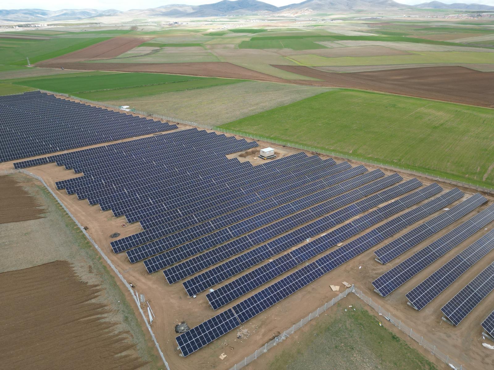
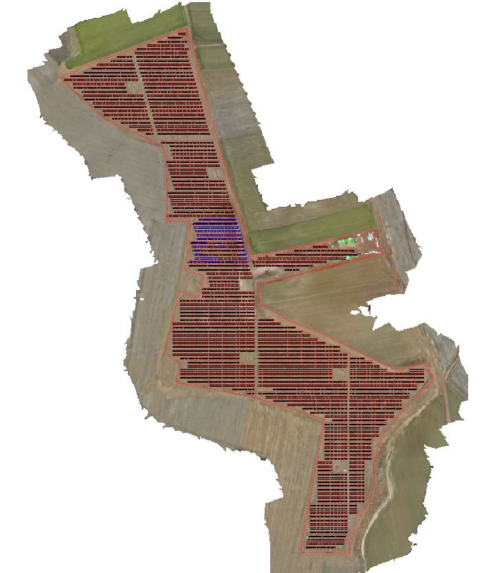
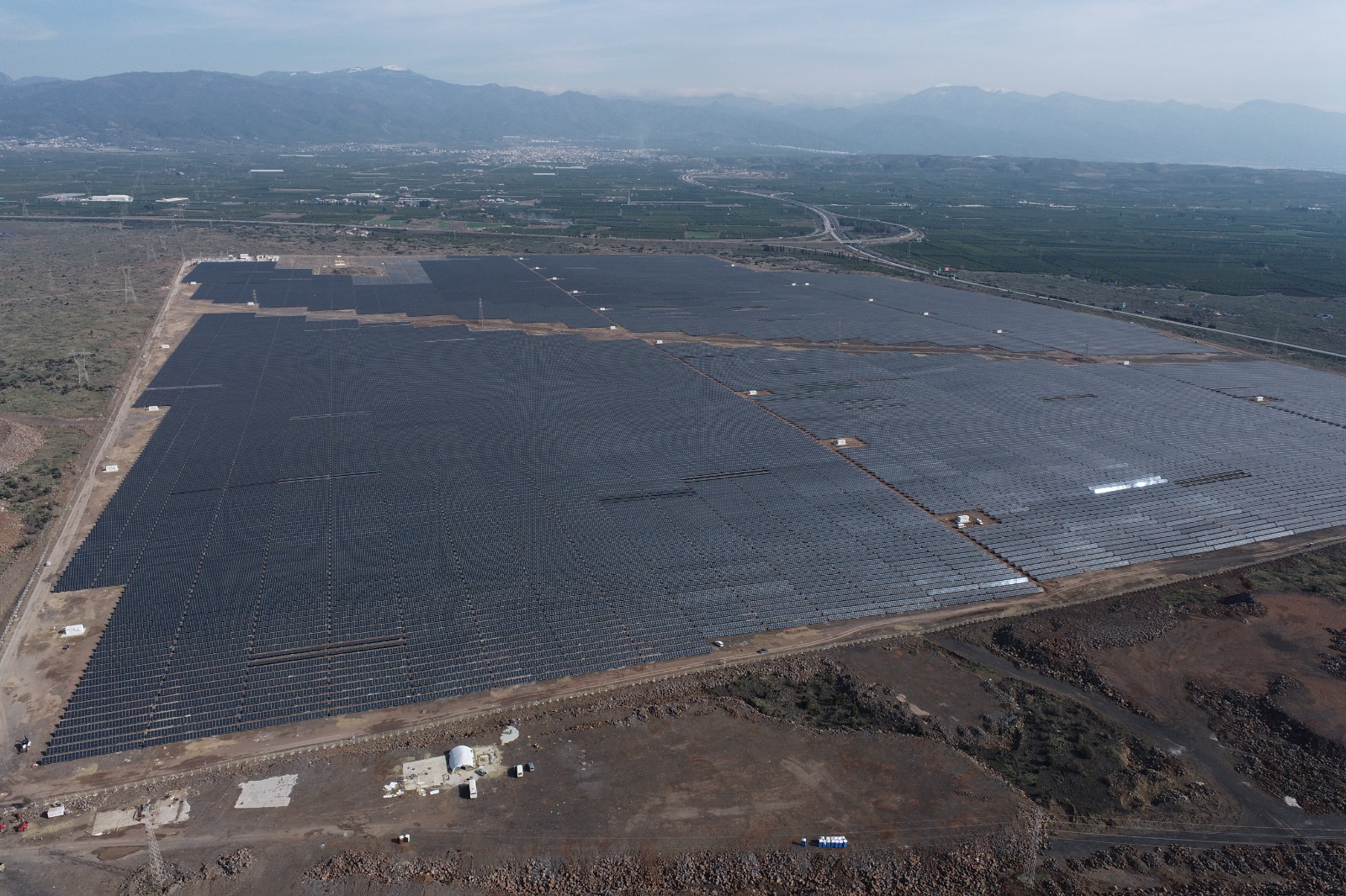
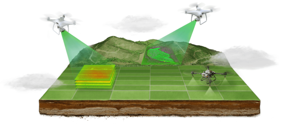
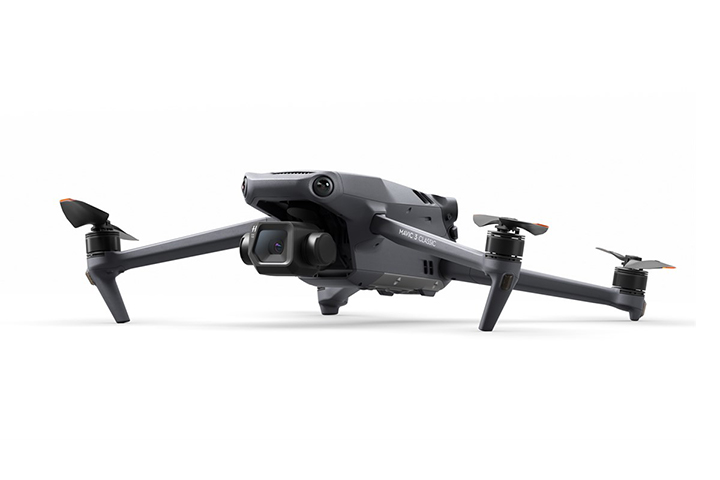
Mapping with a UAV (Unmanned Aerial Vehicle) is a mapping process that involves aerial imaging and data collection methods using unmanned aerial vehicles.
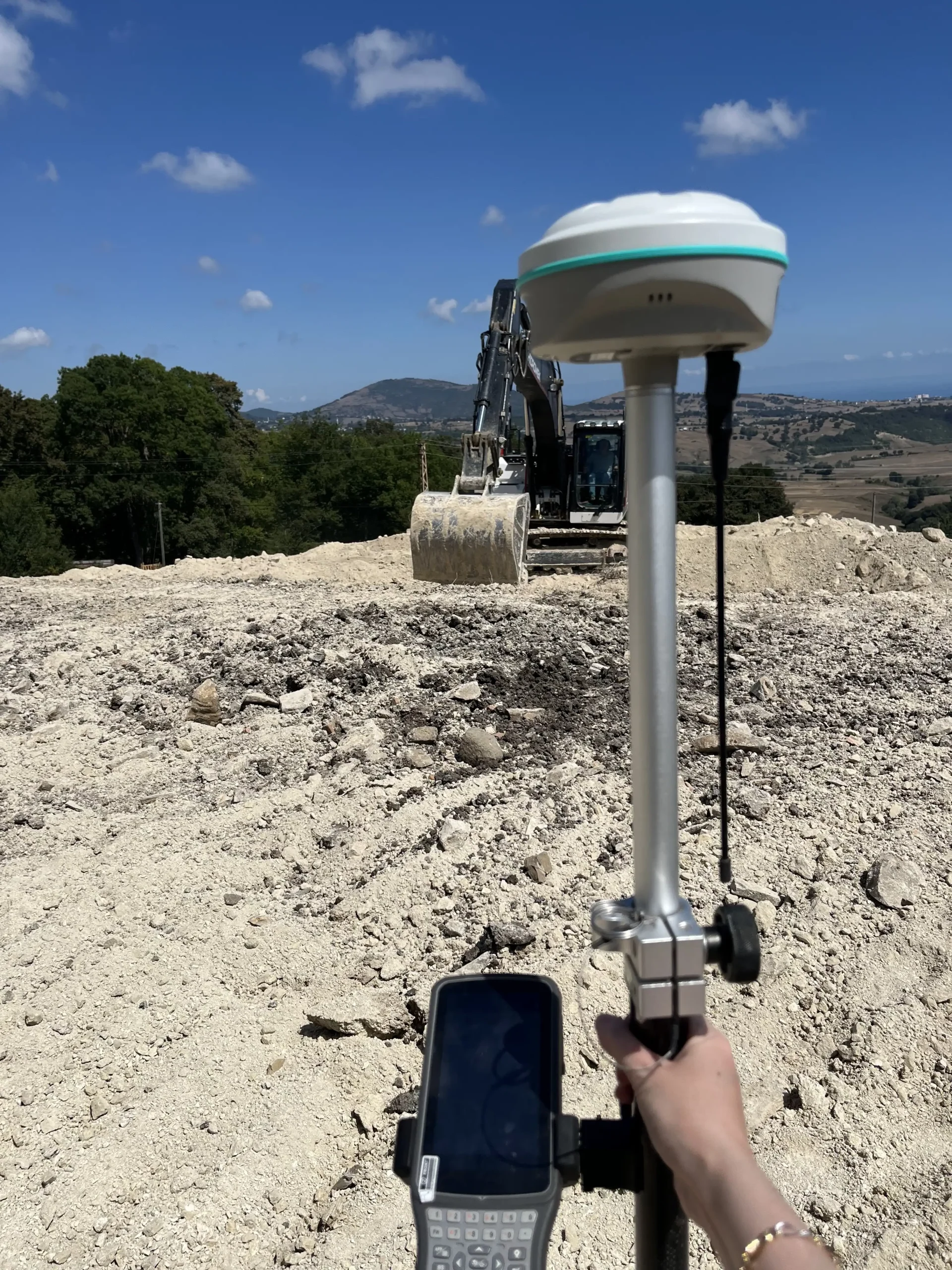
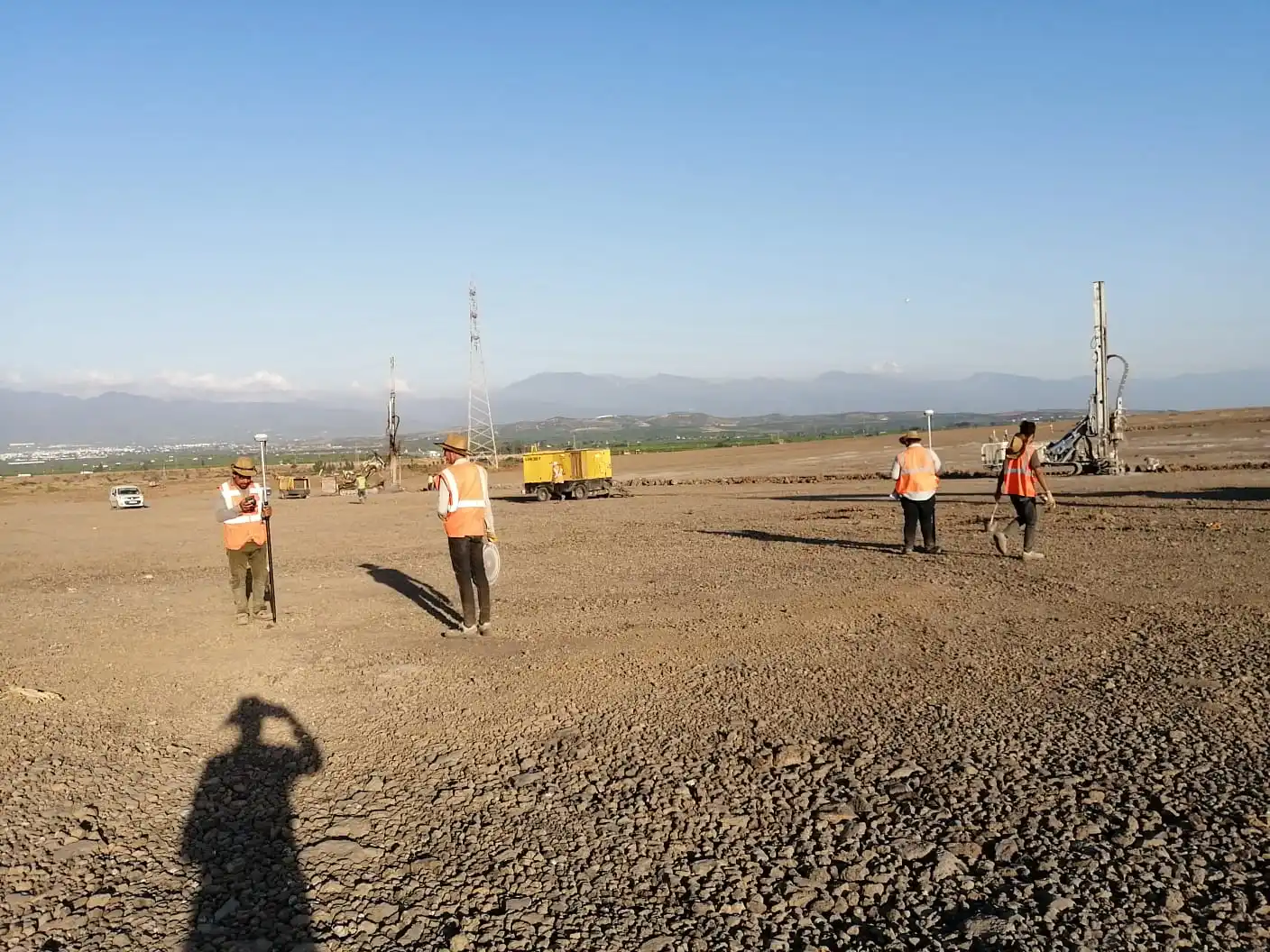
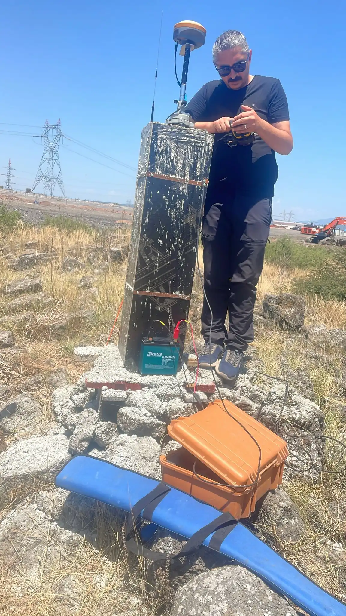
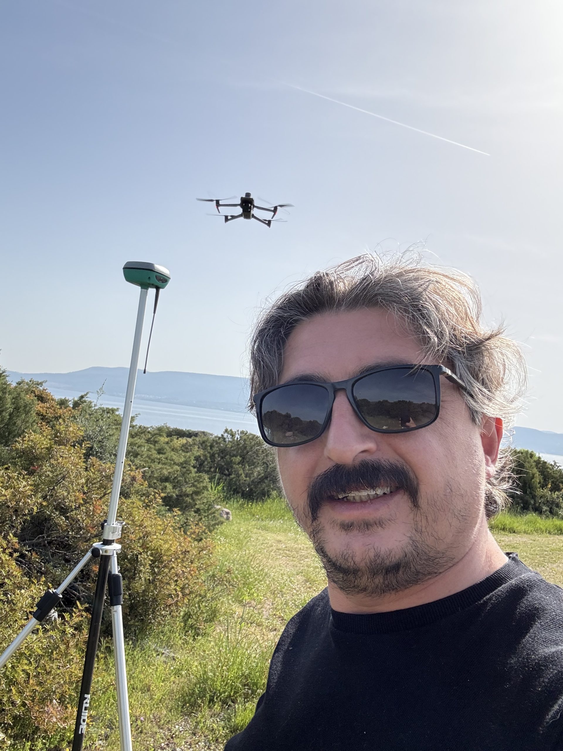
GPS Measuring Device
Device
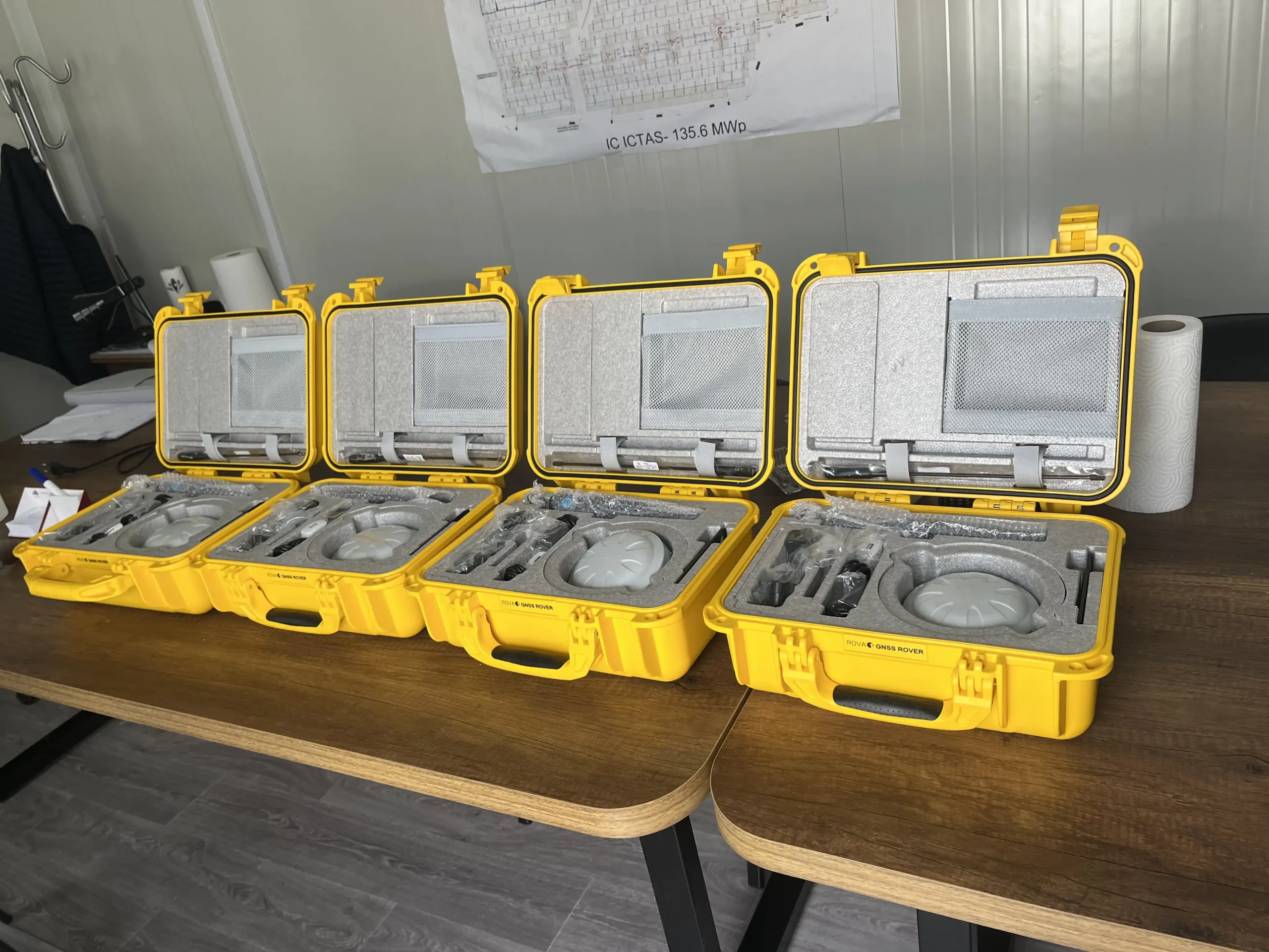
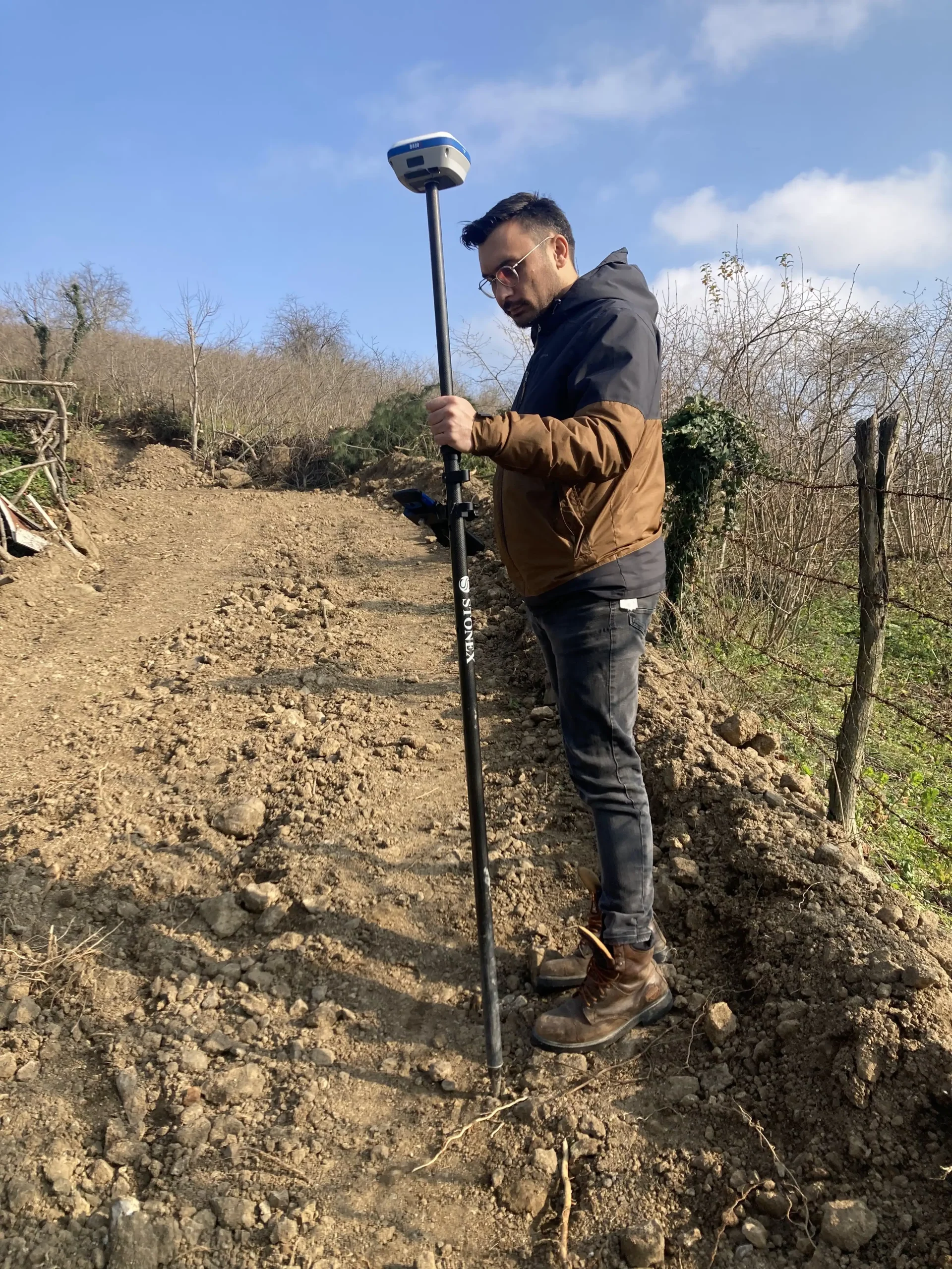
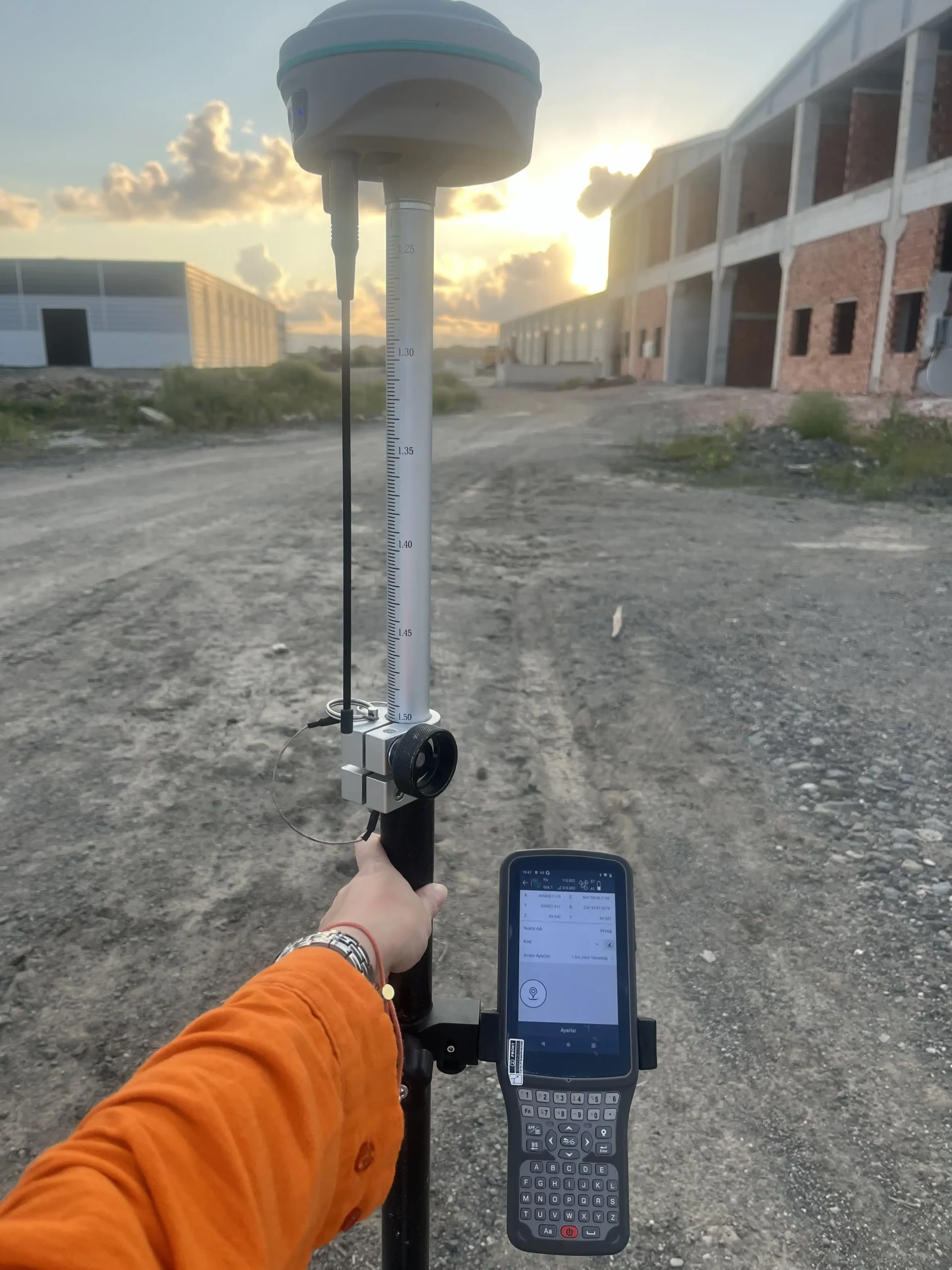
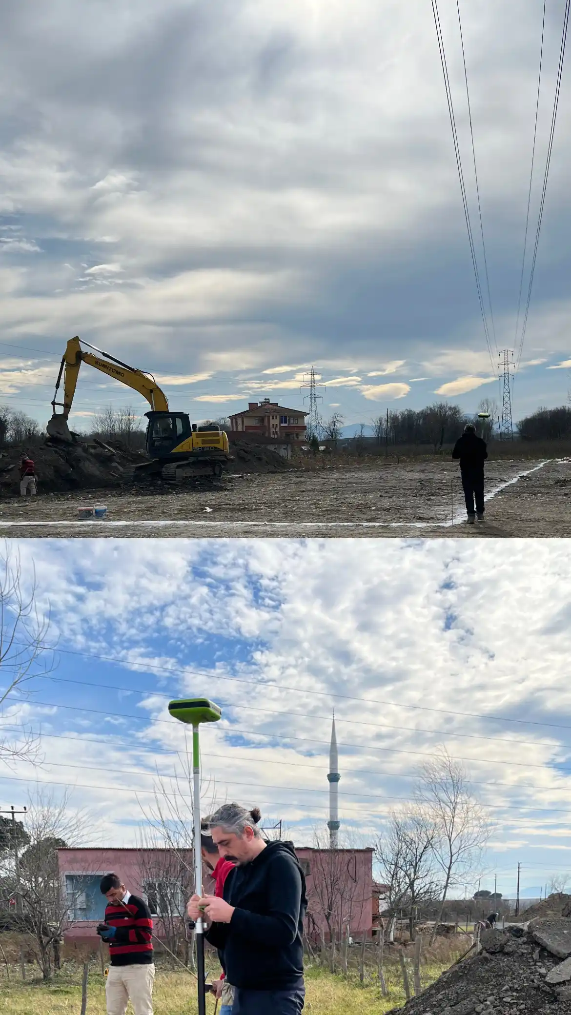
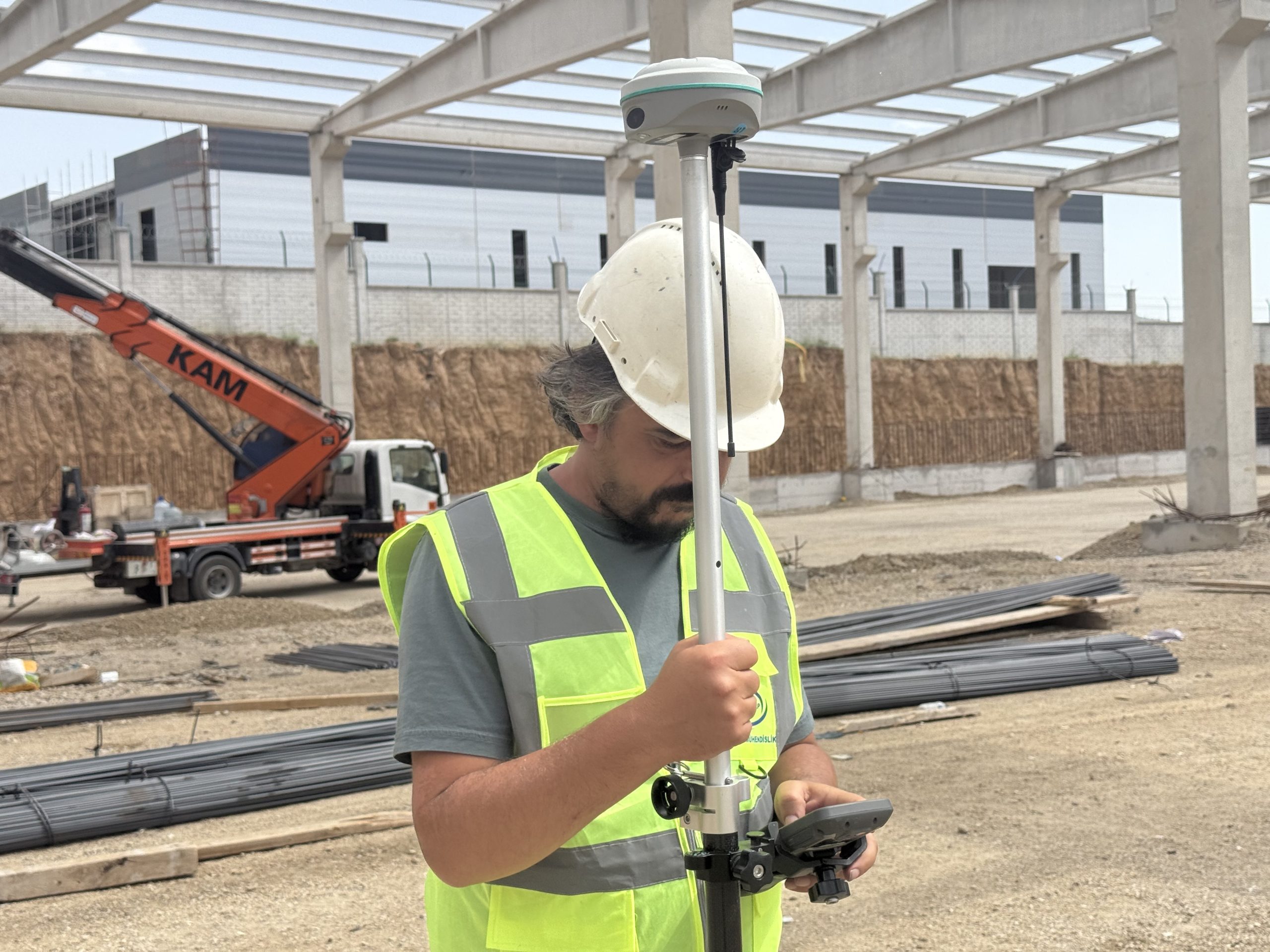
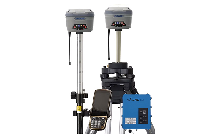
The Global Positioning System (GPS) is a satellite system used to determine location on Earth. Since it allows the measurement of the distance between satellites and an individual or vehicle, a person's exact location on earth can be pinpointed.
Total Station
Device
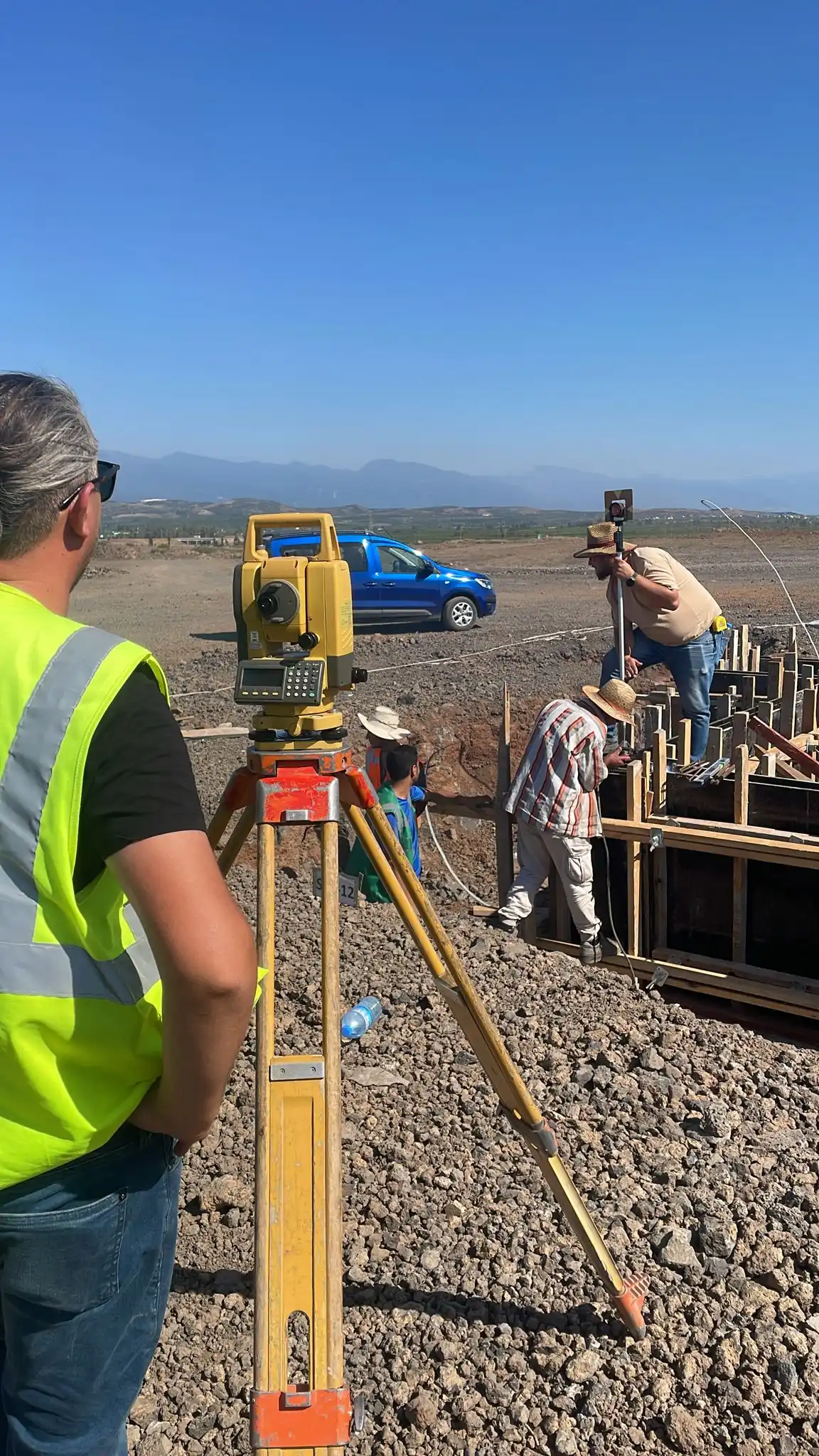
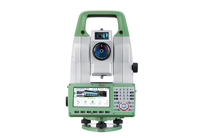
In short, a Total station is a topographic measuring device that can read distances remotely. Total Stations are measuring instruments used to find the surface area of the land and make its plan, determining xyz coordinate values through horizontal and vertical angle measurements and distance measurement with second-level precision.
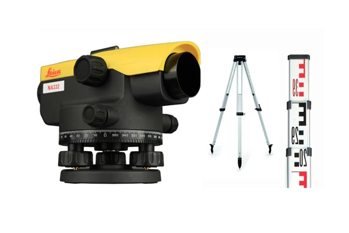
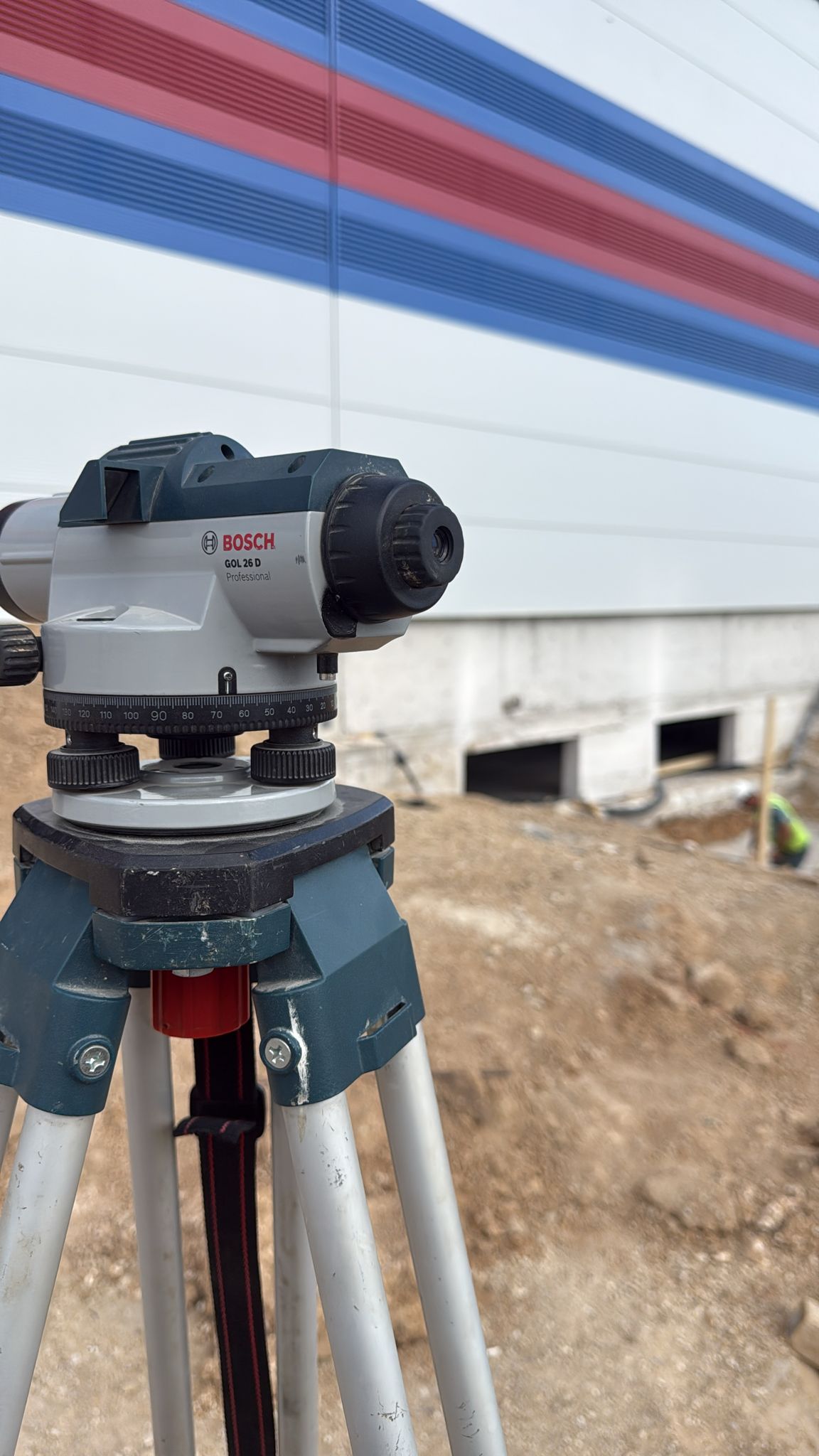
Level
Device
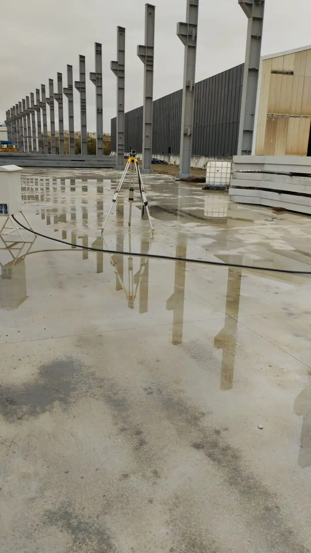
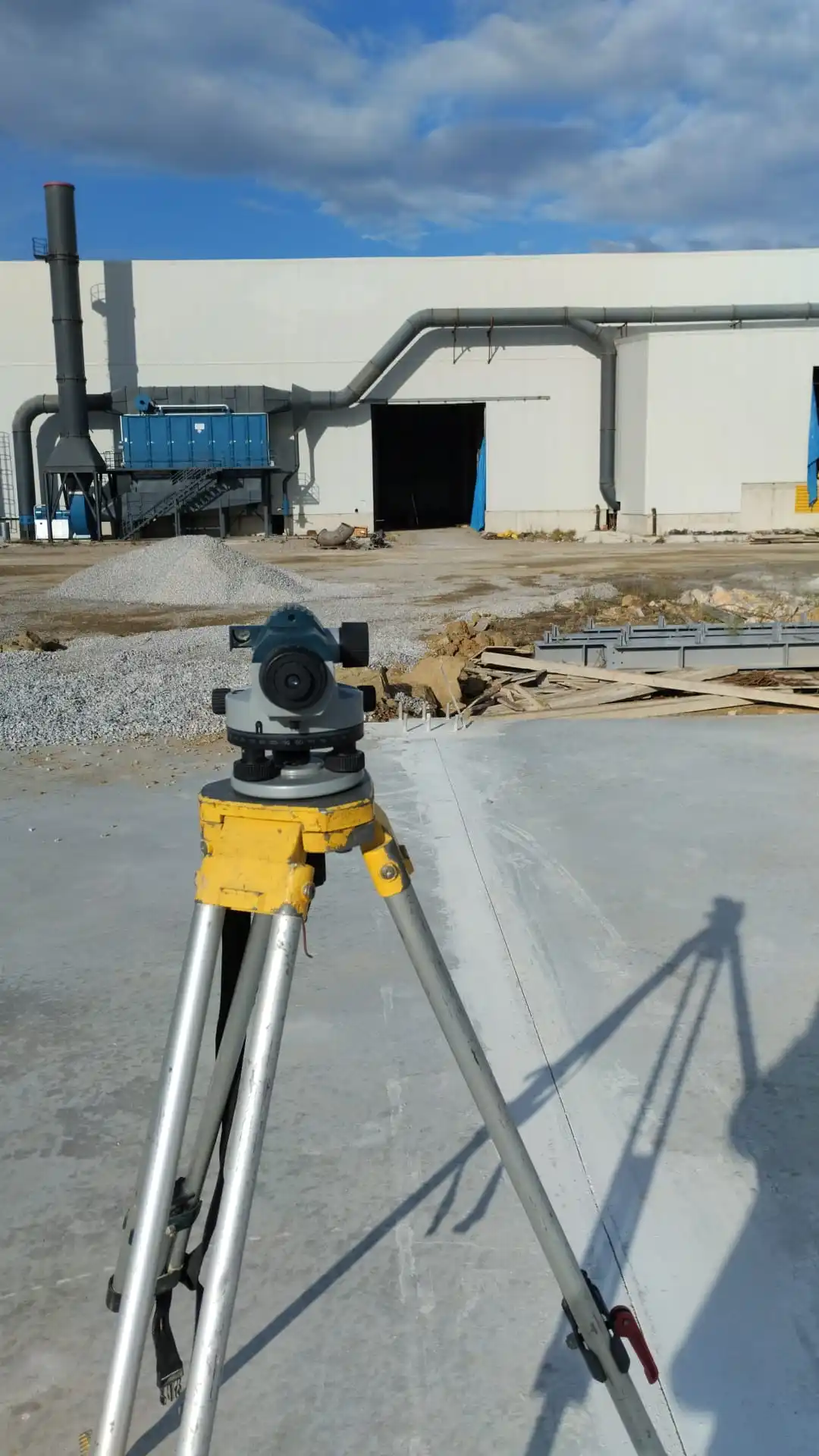
A level is a measuring instrument used in construction and land surveying works. It is used to check the alignment of the land or structure in the horizontal and vertical planes. Optical or laser levels are generally used in construction projects, road building, landscaping, and other engineering projects.