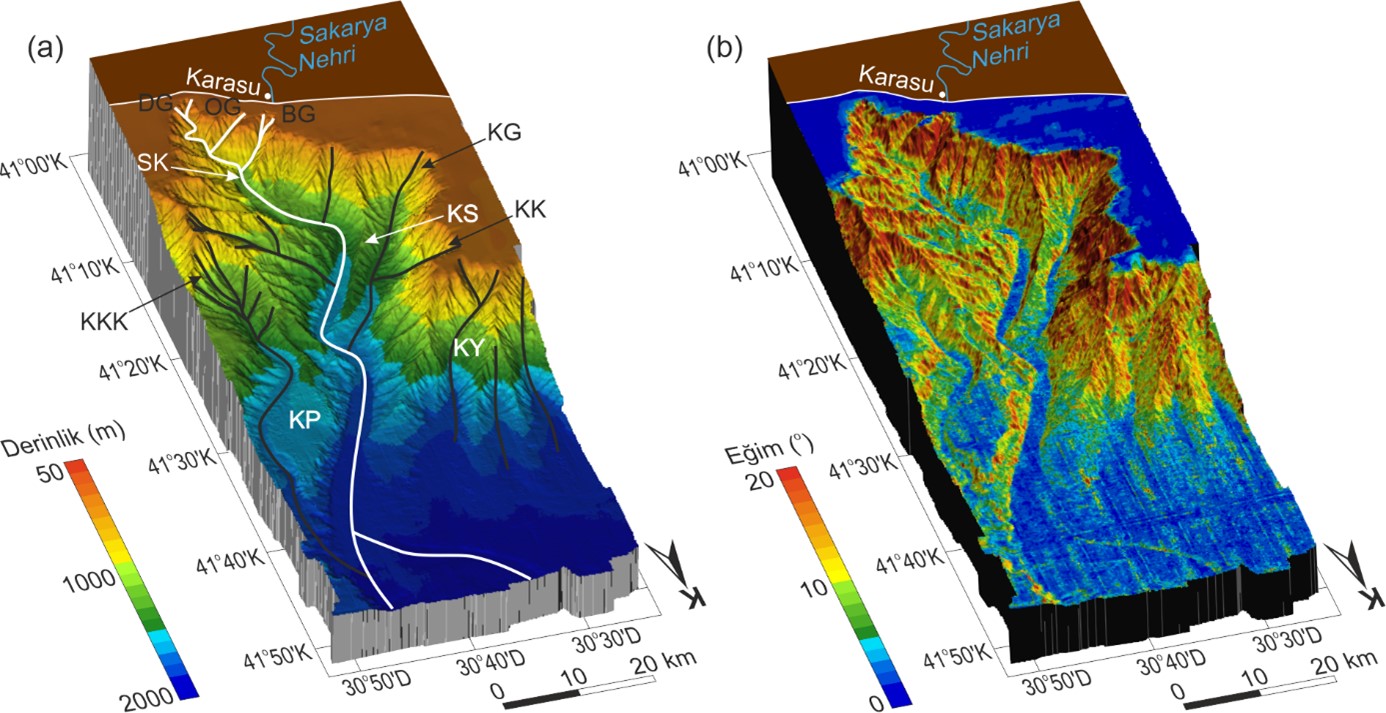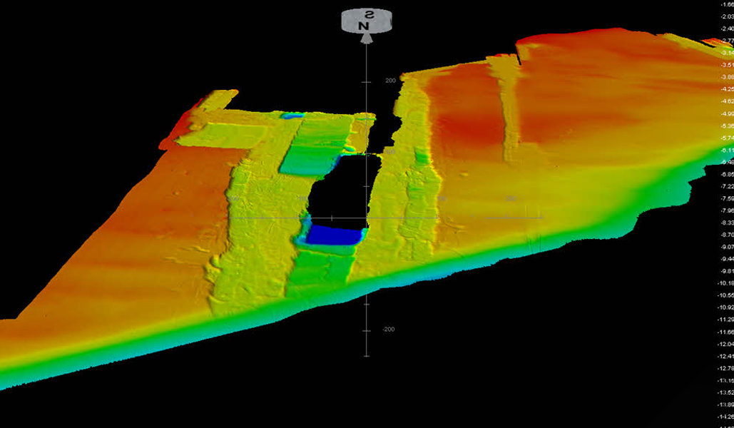
Bathymetry is the science of measuring and mapping the depth and topography of the underwater surface of water bodies (seas, lakes, rivers, etc.). Bathymetric maps provide a detailed view of the underwater surface, showing depth contours, underwater mountains, valleys, ridges, and other topographic features.